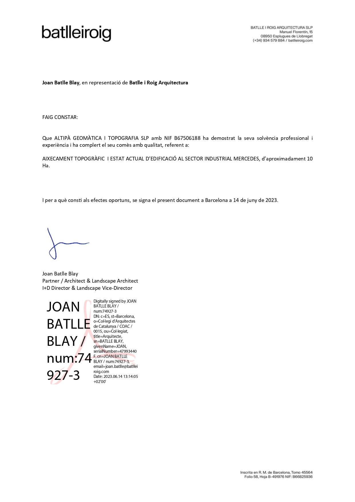
Altiplà offers you free advice to obtain the most appropriate topographic map in each case
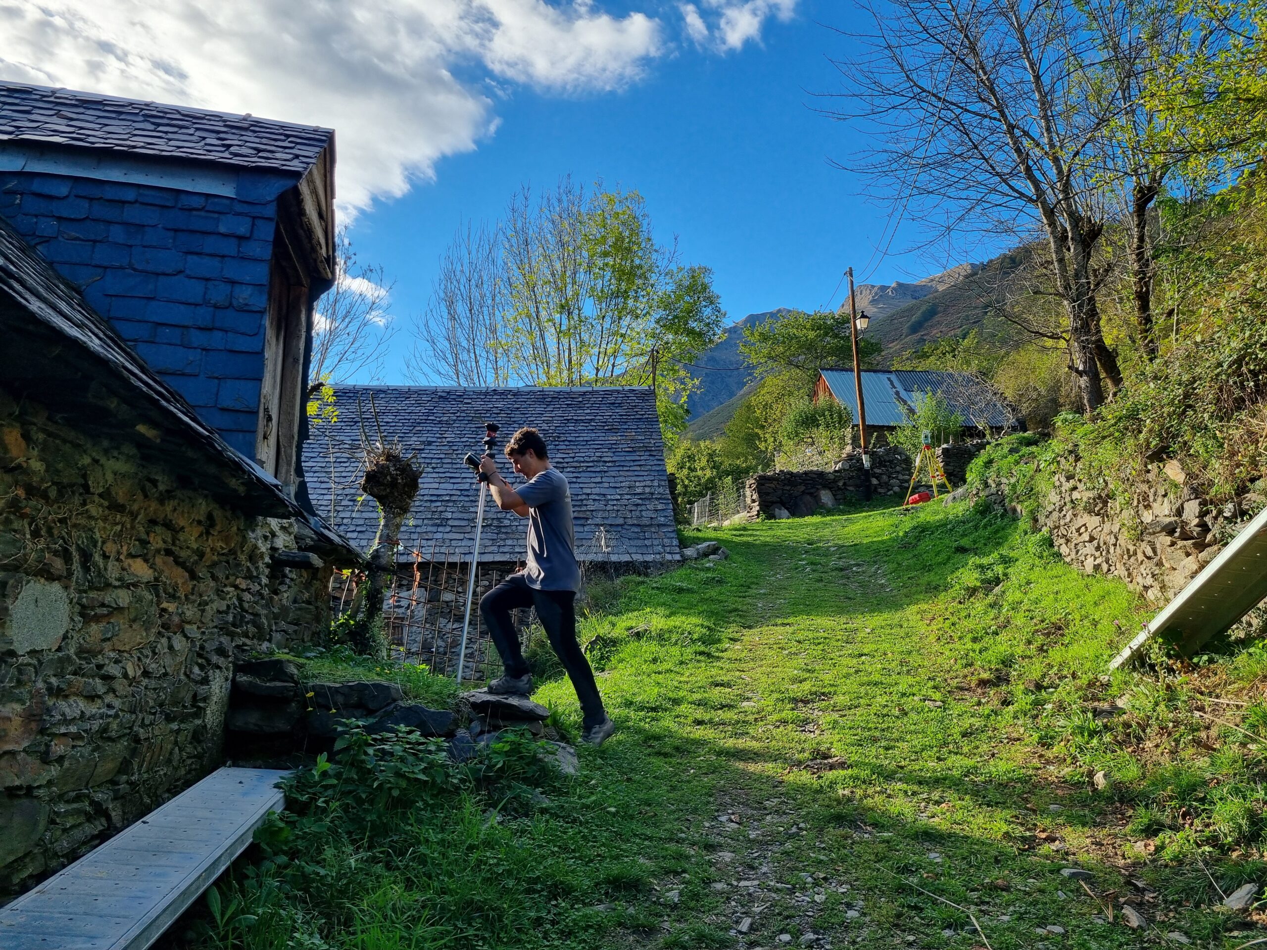

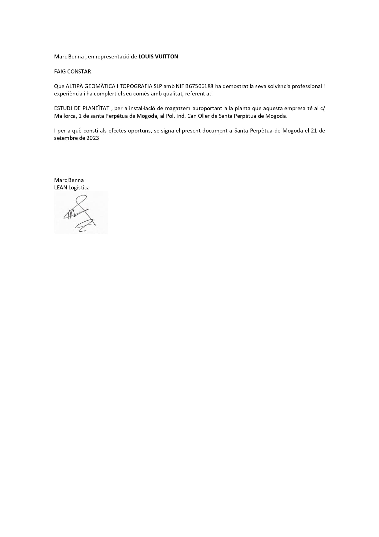
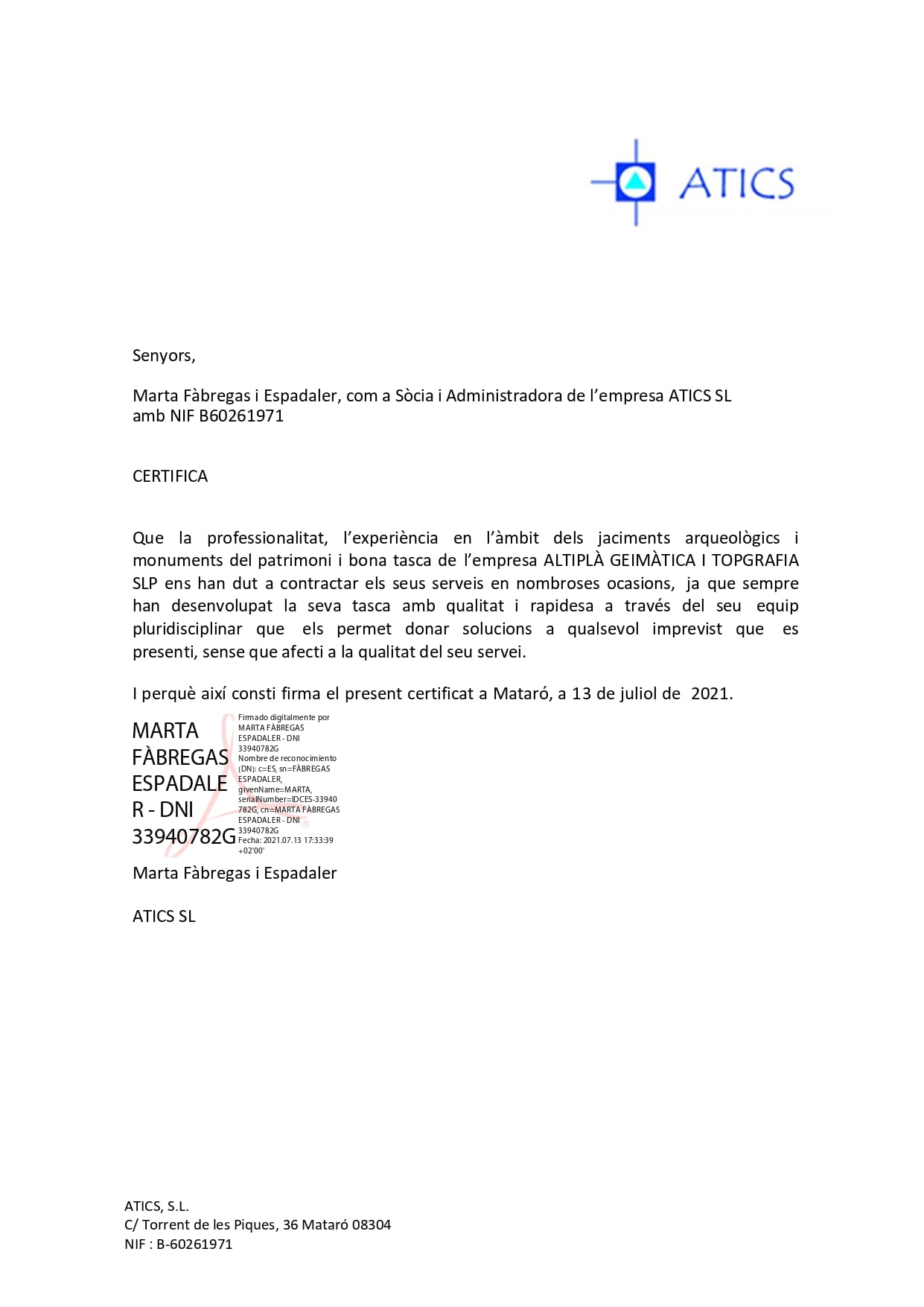
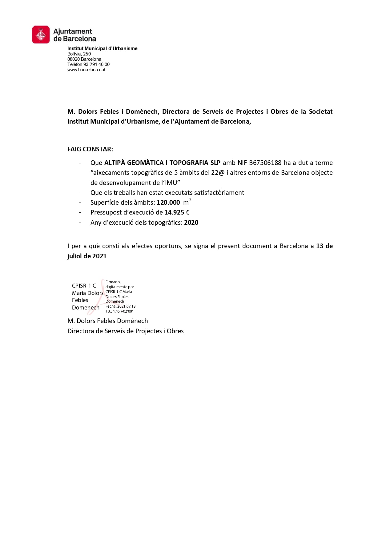
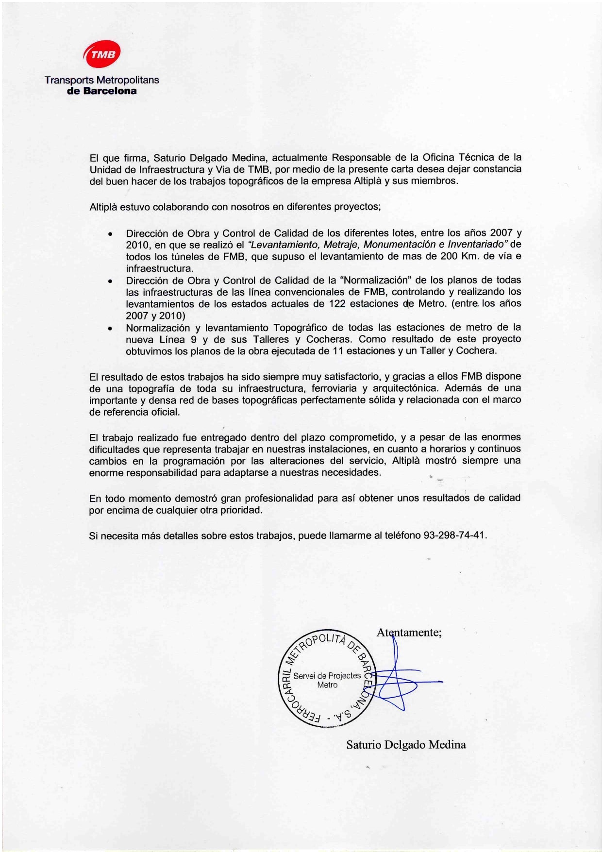
We use the most advanced technology without forgetting classic methods to guarantee precise and reliable results.
The quality levels of our surveys are comparable to the highest standards, both in precision and level of detail.
Our team has Geomatics and Topography Engineers with more than 30 years of experience.
Delimitation of plots
Urbanization projects
Earth movement calculations
Implementation of buildings
Design and analysis of sewer networks


The 2D survey is one that does not represent the heights, either because they were not part of the data capture, or because their representation was not necessary. The 3D survey includes the capture of data in both plan and elevation, allowing the creation of a model that must be used for the analysis of the topography of the land, the calculation of land volumes, the planning of layouts, etc.
These surveys are useful for a wide variety of construction, urban planning, civil engineering or property delimitation projects. They allow you to obtain a precise view of the terrain to implement projects correctly.
For topographic surveys, robotic total stations, differential GPS, drones, and laser scanners are used, always according to needs, which, together with the experience of our team, guarantee precise and reliable measurements.