SERVICES

Geodetic Networks

Geodetic networks are a fundamental infrastructure in the field of topography and geoinformation, used to establish an accurate and stable base for cartography, construction, and other engineering projects.

Altiplà offers you free advice for the design of the most appropriate Network in each case.
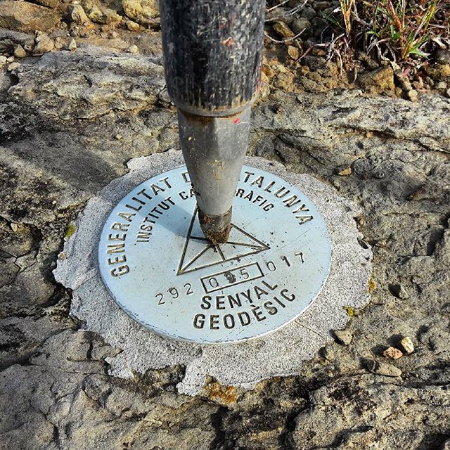
Types of projects in which we use geodetic networks

Cartography and topography

Engineering and construction

Deformation monitoring

At Altiplà we use the latest technologies for geodetic networks.

GNSS systems (Global Navigation Satellite Systems)

These technologies allow the coordinates of a point to be determined with very high precision, down to millimetric levels. This is essential for establishing control points that will be used in cartography and other applications.

Trilateration and triangulation

These techniques are used in combination with GNSS to increase the accuracy of the geodetic network, especially in environments where reception of satellite signals may be compromised.

Geodetic auscultation

It refers to the continuous monitoring of points in a geodetic network to detect any movement or change in their position.

Benefits of geodetic networks

01

Accuracy and reliability: Geodetic networks provide a stable and accurate foundation for a wide variety of projects, ensuring that all measurements and operations are based on consistent and reliable data.

02

Long-term stability: A well-maintained geodetic network can serve as a reference for decades, being a valuable resource for future engineering, cartography, and territorial management projects.

03

Support for territory monitoring: Allows the monitoring of tectonic movements, subsidence, and other phenomena that may affect the safety and viability of infrastructures


What our customers think

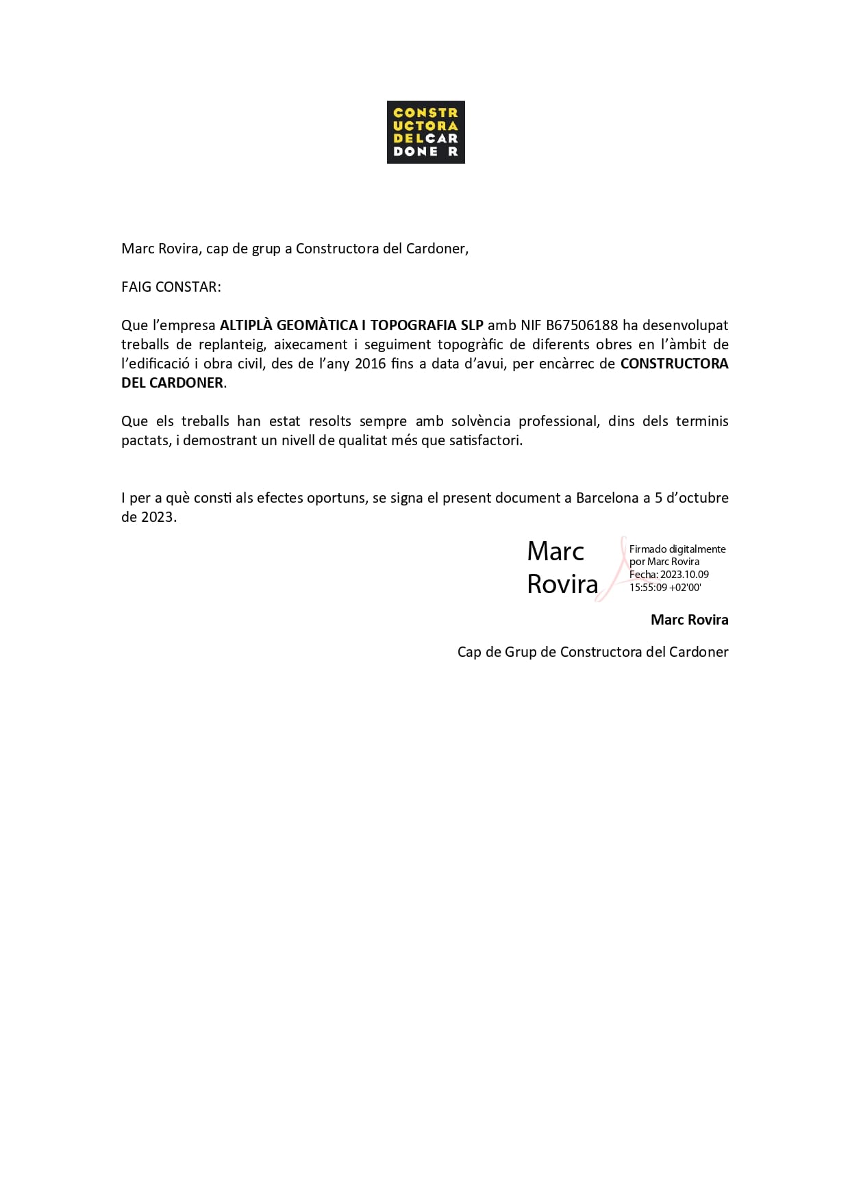
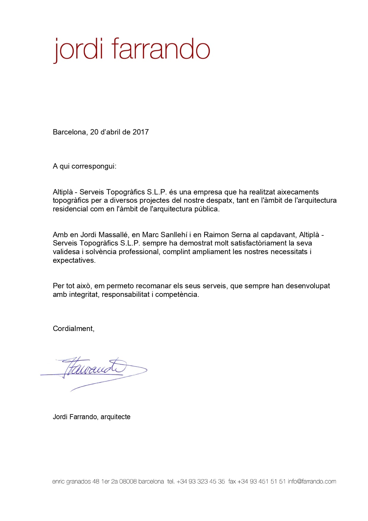
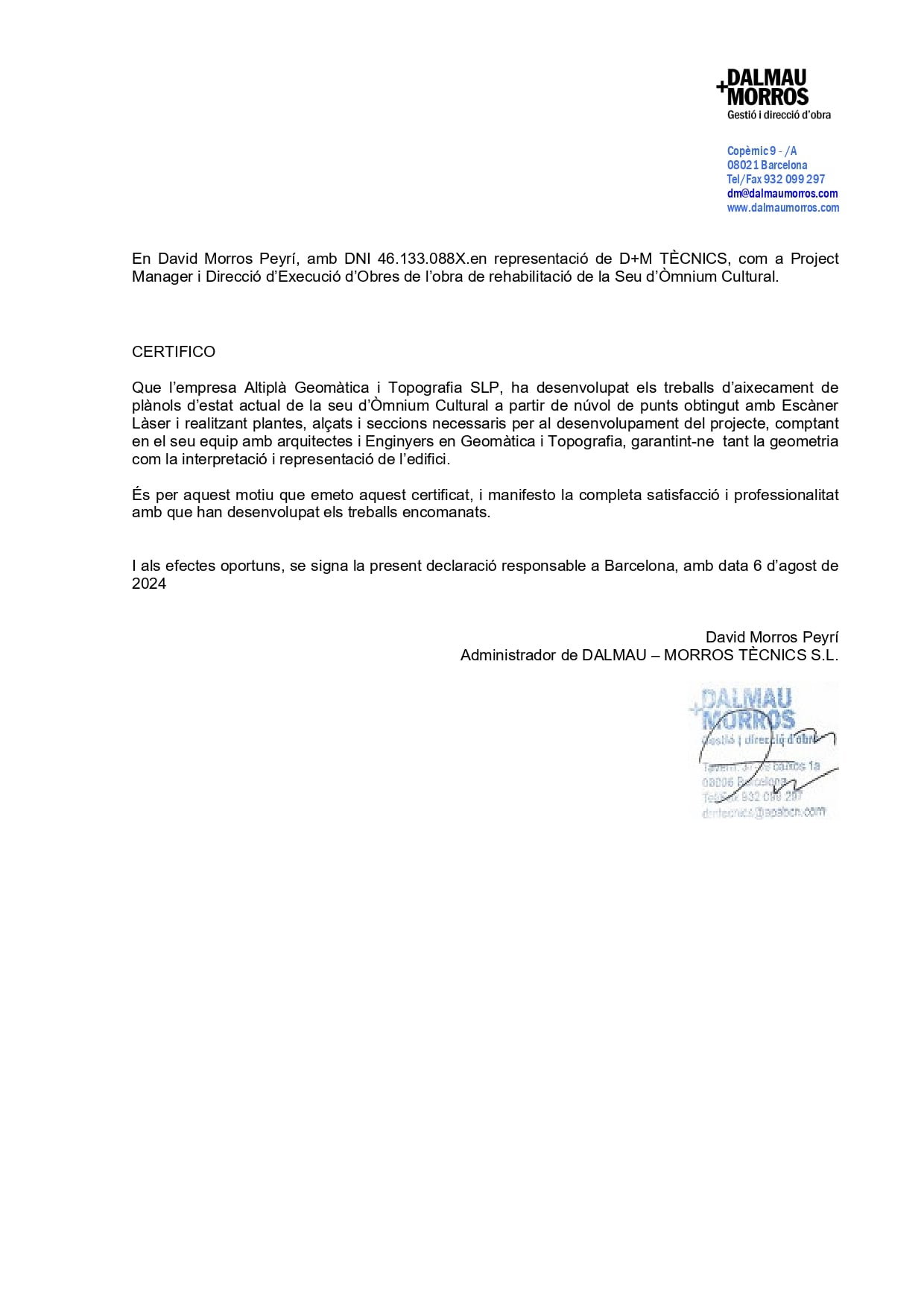
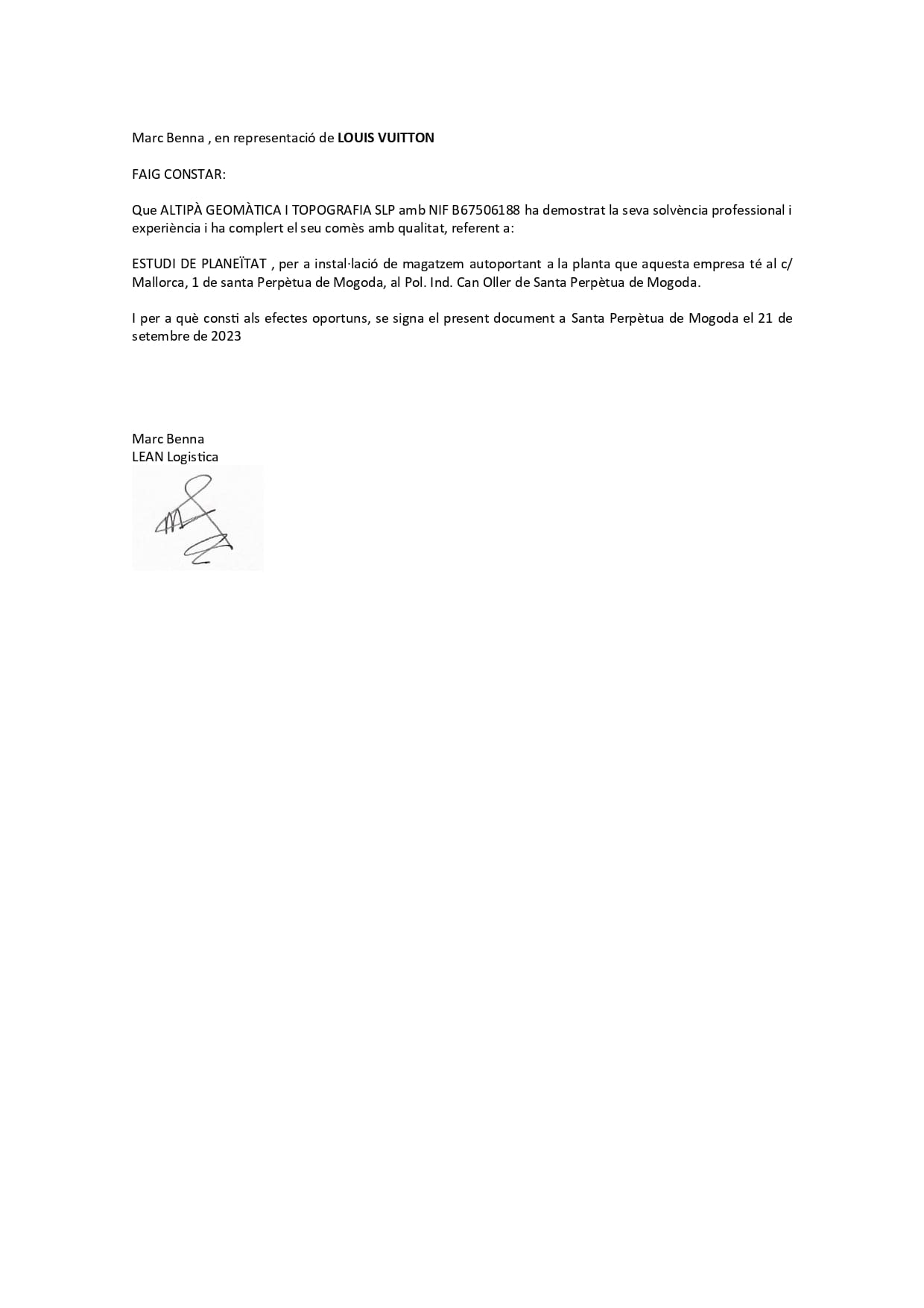
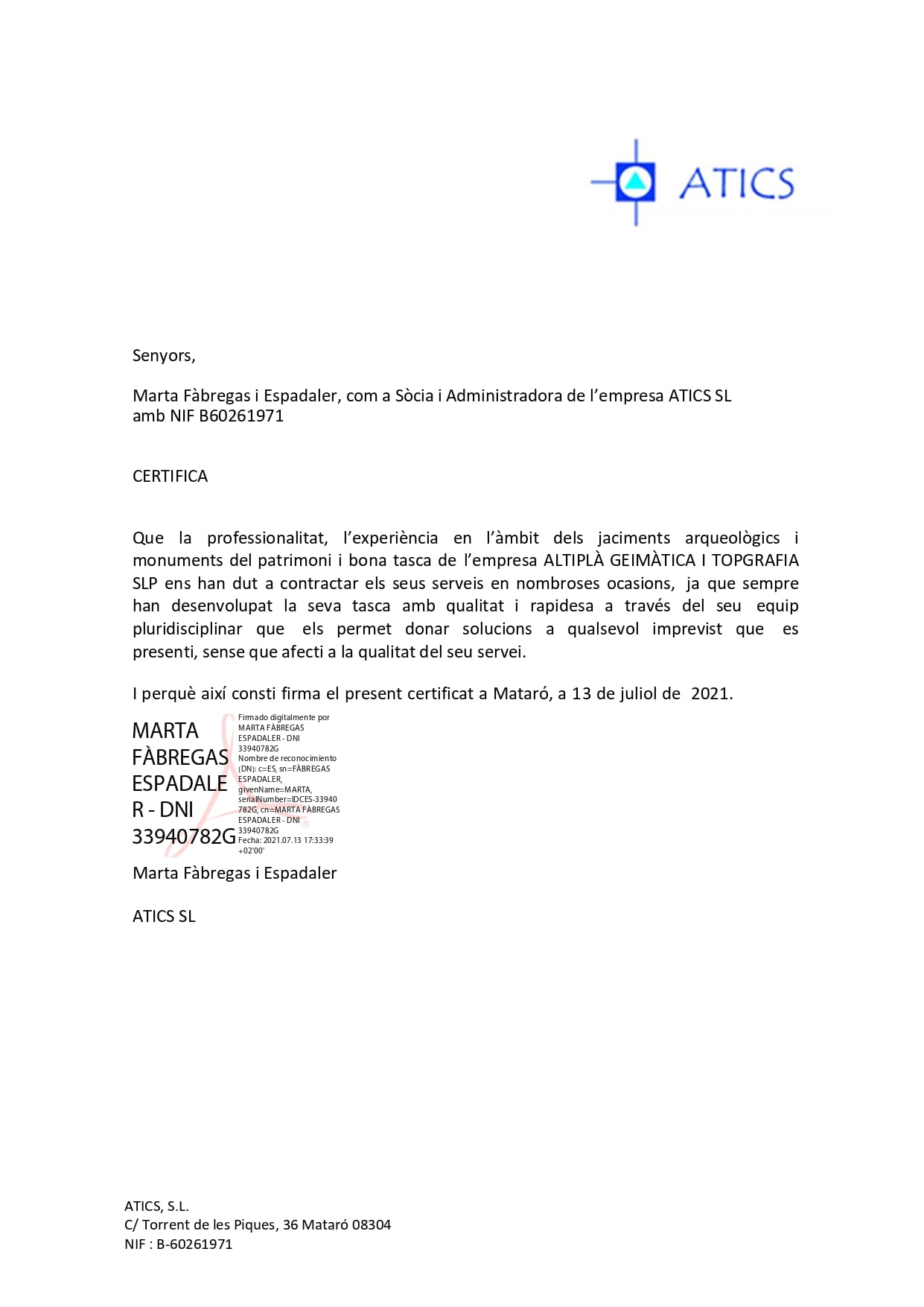
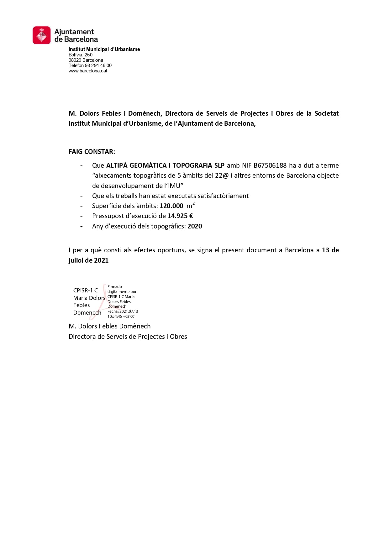
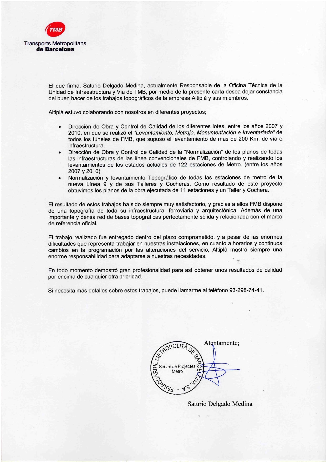
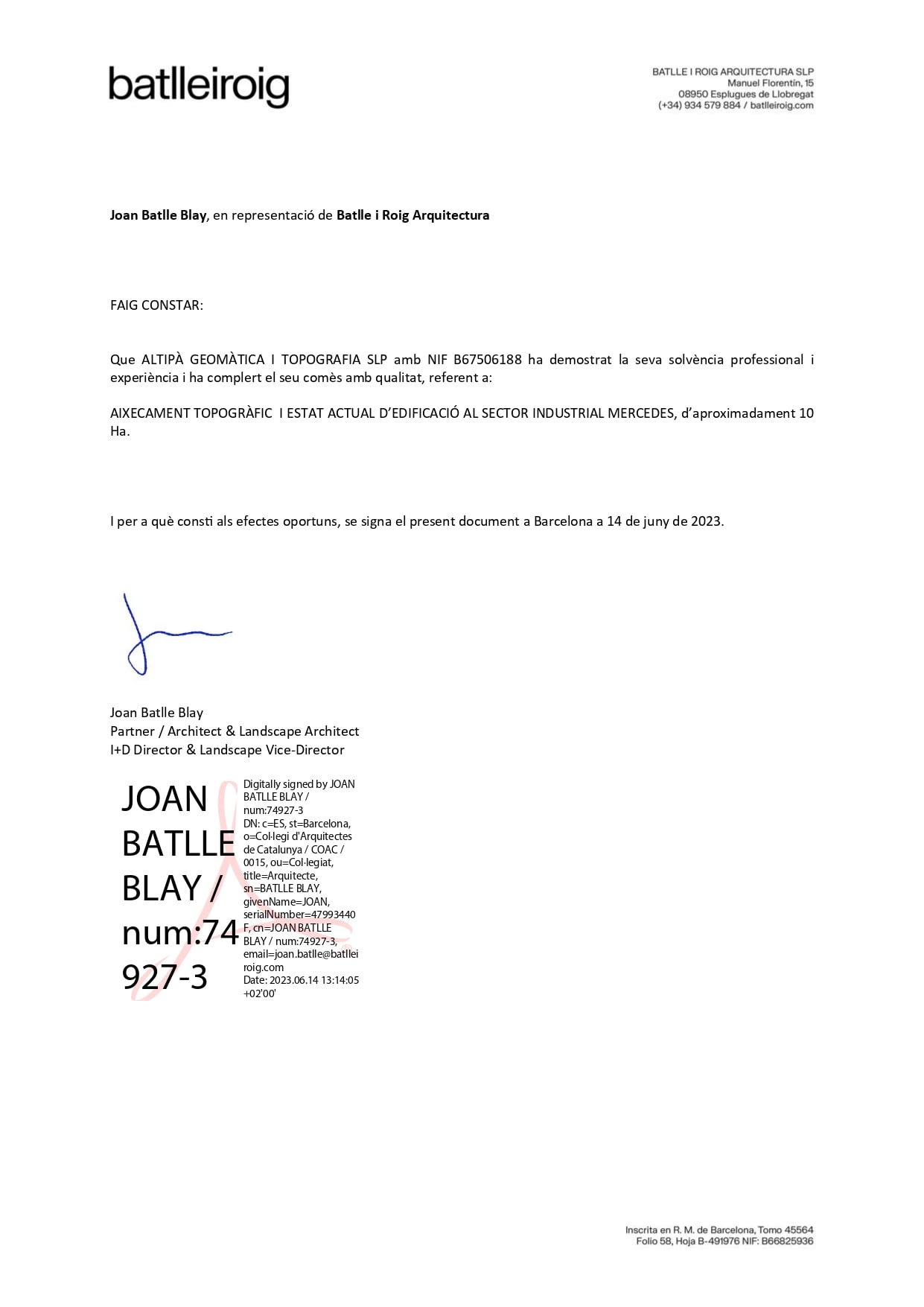
A coworker at Altiplà recommended him to us and he is now one of our collaborators. Efficient, fast and decisive.
Almu Perez
He has been very friendly and professional. He has advised us on a problem with some neighbors and his opinion has been very helpful. Very decisive and effective.
Jordi Miralles
Good professionals with extensive experience. We have been working with them for years and now we have decided to try the point cloud... a good tool to avoid having to be on site all day and have the measurements at hand.
Marta Costa
The best surveyors in Barcelona without a doubt. They understand the needs of architects and help prevent cost overruns with the precision of their work.
Ivan Serrano
Very professional people, total involvement in their work. I would recommend this company for the quality, speed and empathy with which they deal with their customers.
Fernando

Implementation of Geodetic Networks

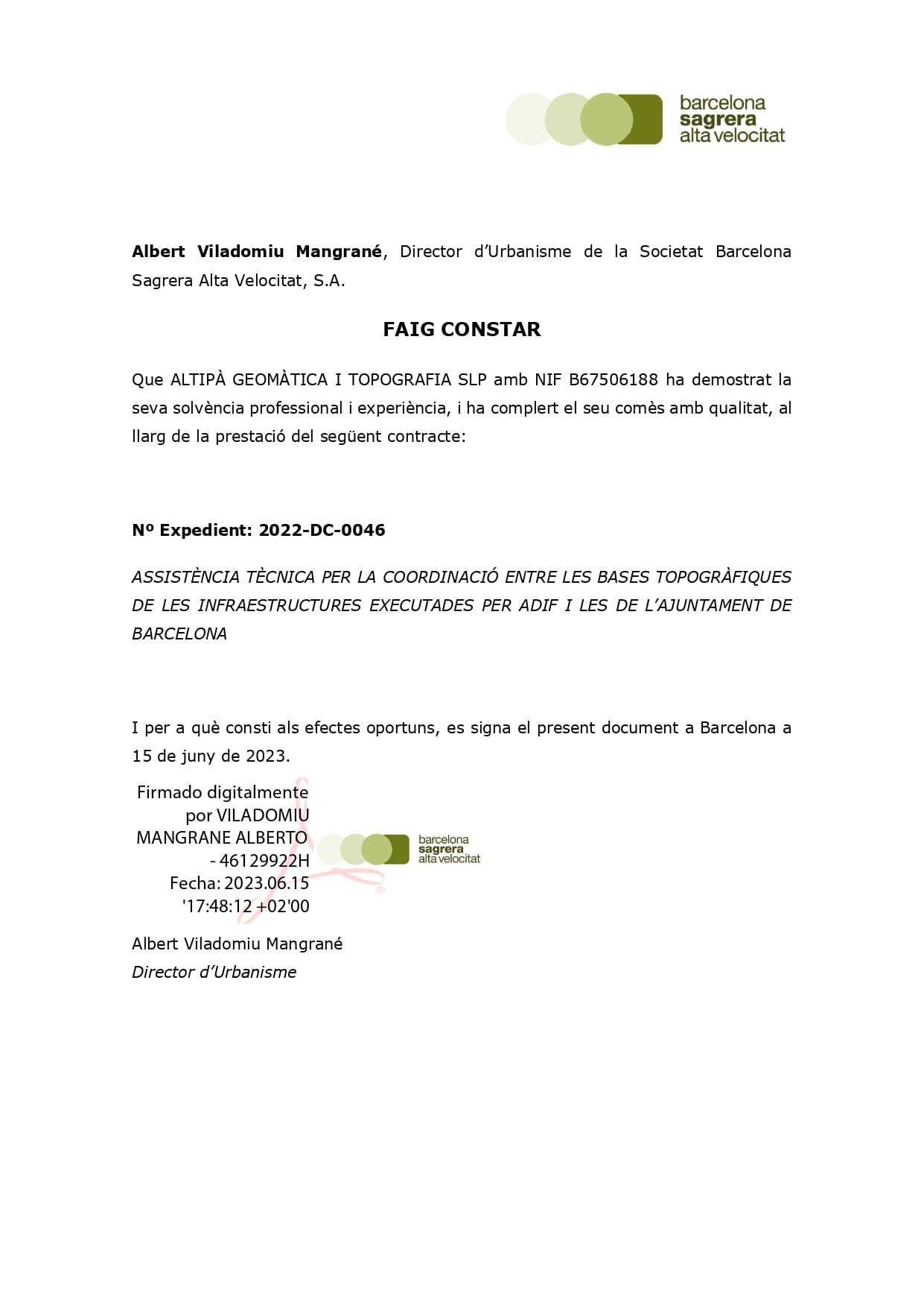
We have created Geodetic Networks, both for municipalities, road infrastructures, sewer networks or for settlement controls.

We guarantee precision and reliability in each project, thanks to our team of experts dedicated to providing exceptional results for your topographic needs with more than 20 years of experience.

Do you have any questions?

They serve to ensure that all parts of an infrastructure project are aligned and built to specifications, ensuring accuracy at every stage of the project.

They are essential for monitoring ground movements and other structural deformations, allowing you to detect and react to any changes that could compromise safety.

Large-scale infrastructure projects, such as roads, bridges, tunnels, and high-precision mapping projects benefit enormously from the use of geodetic networks.

TELL US WHAT YOU HAVE IN MIND
ASK US FOR A QUOTE
GDPR*
ALTIPLÀ GEOMÀTICA I TOPOGRAFIA, S.L.P.
Carrer de Joan d’Àustria, 51 B-2
Poblenou – 08005 Barcelona
U.T.M. / E.T.R.S 89 (432449/4582648) 31T
Privacy Policy Cookie Policy Legal Notice