SERVICES

PARCEL Georeferencing Certificate and Amendments of Cadastral Discrepancies

We have extensive experience in measuring plots and building surfaces, applying the appropriate methodology. These measurements are often the previous step to the Georeferencing Certificate, necessary to adapt to the Reform of the Mortgage Law 13/201.
This process consists of the accurate graphic representation of the farms , through geographic coordinates that allow clear and exact identification of the boundaries of each property.

Altiplà offers you free advice to hel you choose the best procedure for obtaining the Georeferencing Certificate.
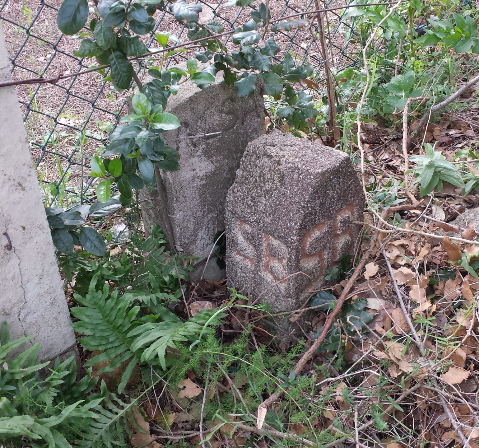
The Georeferencing Certificate is a document that certifies the coordinates that define the perimeter of a plot or construction, and that complies with the specifications required for various legal procedures before the Property Registry and Cadastre Management such as:

Adaptation to the Mortgage Law

Cadastral reviews

Buying and selling processes

Segregations and Groupings

Faced with the need to measure a plot or occupied surface area of a building, we have extensive experience, applying the appropriate methodology for each case.

Currently, in many cases these measurements are the previous step to obtaining the Georeferencing Certificate, necessary for Adaptation to the Reform of Mortgage Law 13/2015 of June 24, which establishes a new form of description of properties in the Property Registry that consists of georeferencing their graphic representation, necessary for cadastral review, registrations, segregations, groupings, subdivisions, purchase and sale.

If necessary, we can manage it with the PIC (Cadastral Information Point). Once the measurement has been resolved, we take care of the grading.

The Georeferencing Certificate process

01
Planning: Study of prior documentation and needs
02
Data capture: Taking data from the property, if applicable, with the appropriate devices
03
Processing: Compare perimeters obtained with Cadastral Cartography
04
Generate GML files
05
Obtaining of Graphic Validation Report and Construction Location Report
06
Document drafting: Drafting of plans, technical reports and Georeferencing Certificates through the platform of the Official College of Engineers in Geomatics and Topography of Catalonia.
07
Delivery of documents and procedures with the PIC

Why choose Altiplà for Georeferencing Certificates?

We take care of the entire process, from initial data collection to processing of discrepancies amendments in front of the Registry Office.

This includes the preparation of the Graphic Validation Report, essential for the registration of properties, and the resolution of any cadastral discrepancies that may arise.


Amendments to cadastral discrepancies

Cadastral discrepancies arise when the data recorded in the Cadastre does not match the physical reality of a property. These discrepancies can lead to legal conflicts or difficulties in real estate transactions. Altiplà offers specialized services to identify and correct these discrepancies, providing detailed reports and, if necessary, managing the updating of the data through the Cadastral Information Point (PIC).

What documentation is required to request a Georeferencing Certificate?

Normally, property documentation is required, such as deeds, notarial powers of attorney, a copy of the representative's or owner's ID, as well as any other information that helps determine the boundaries of the property. If applicable, the corresponding measurement will be carried out.

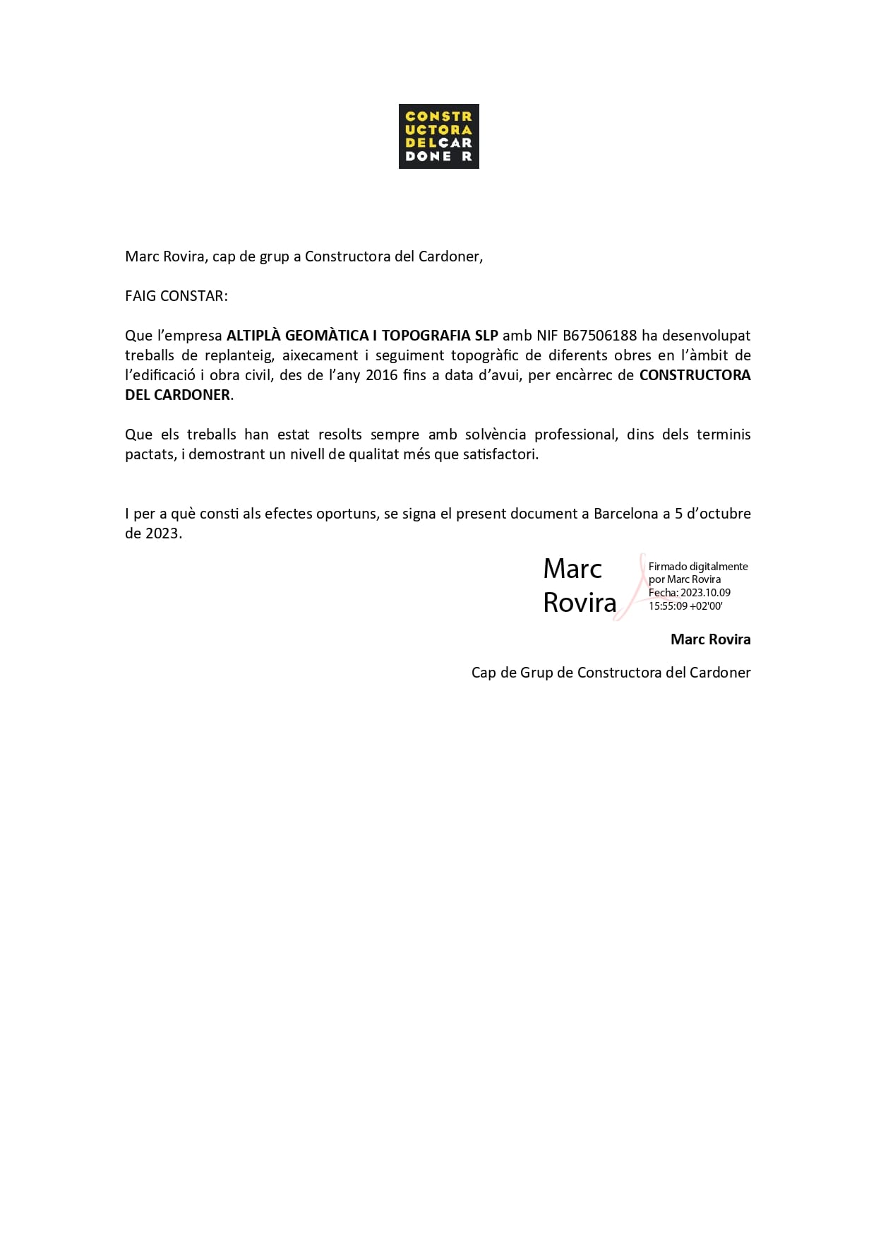
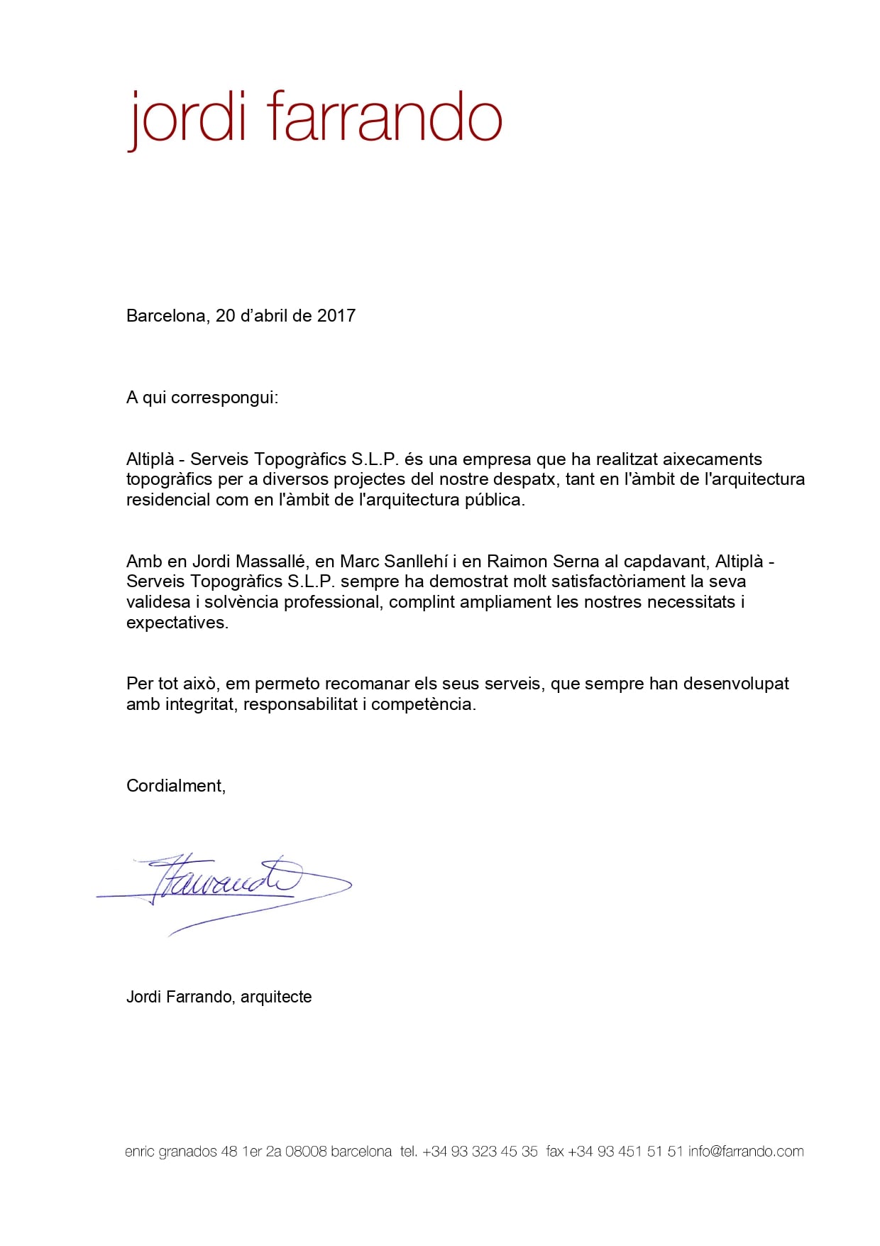
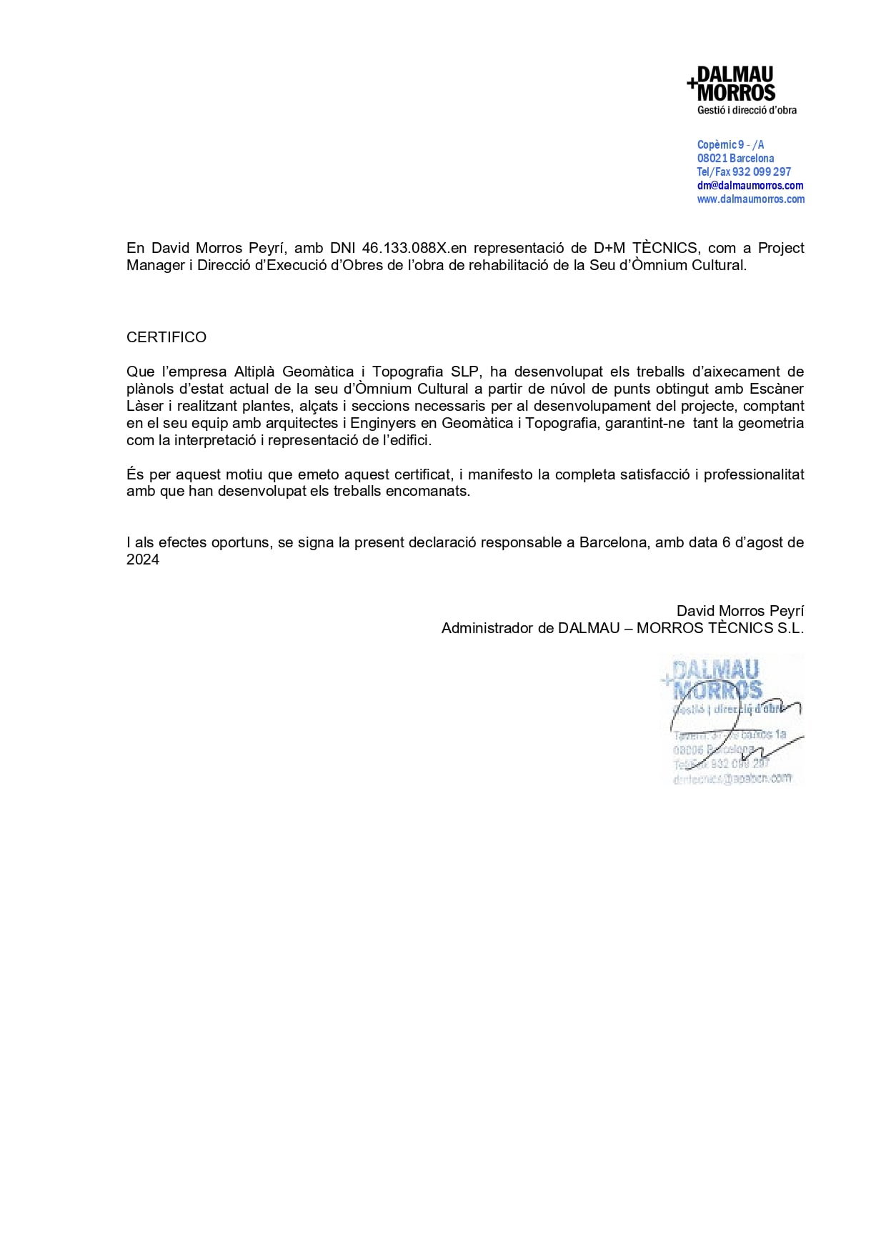
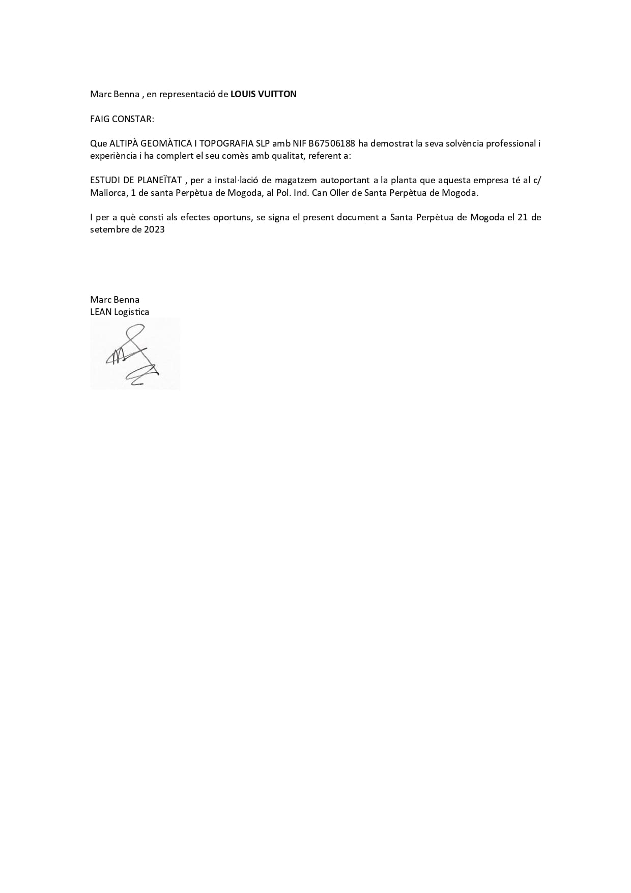
What our customers think

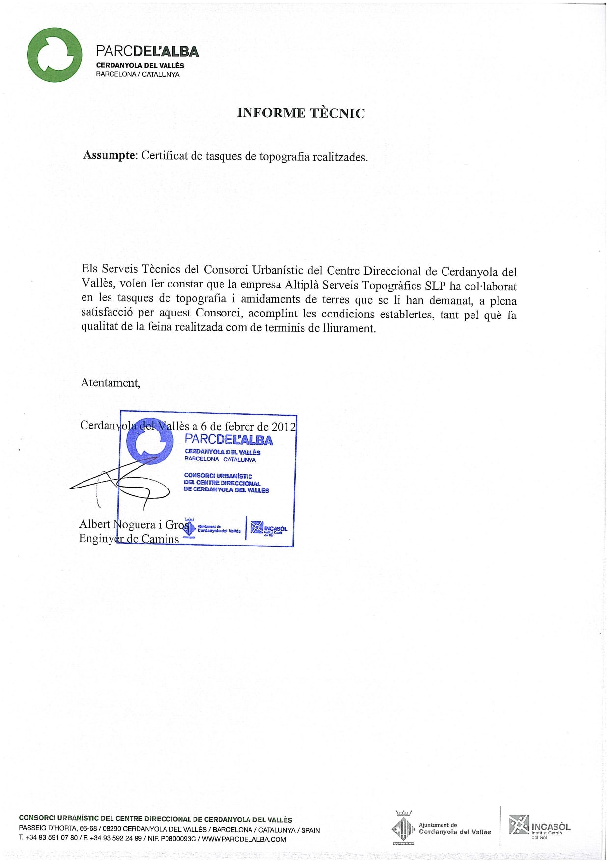
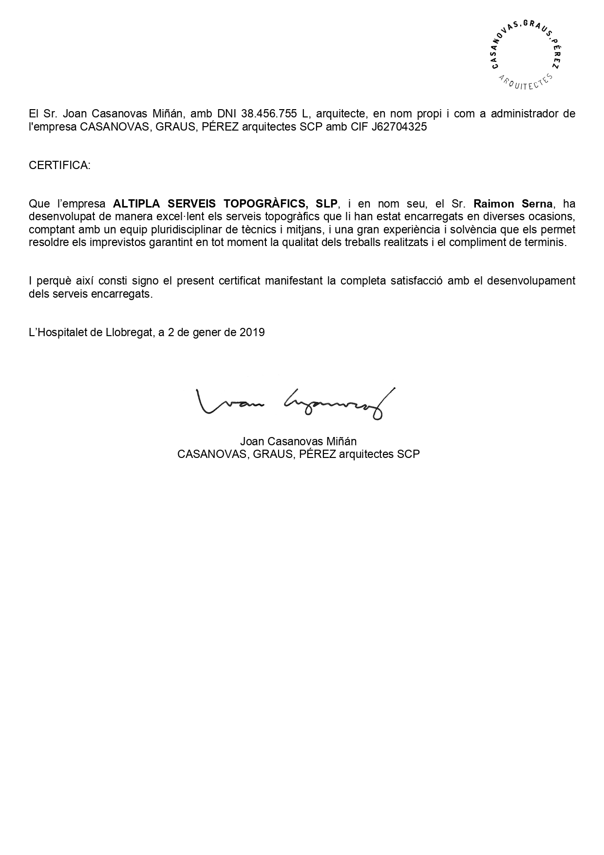
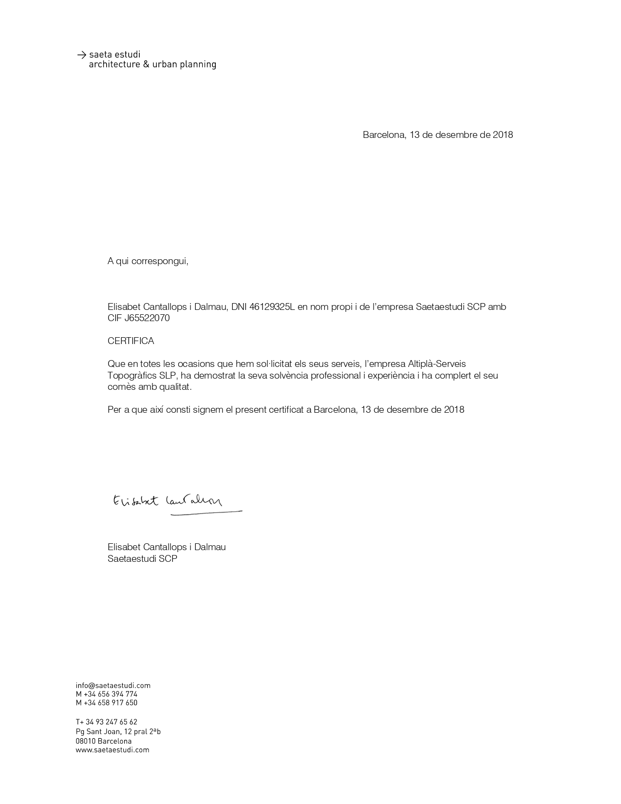
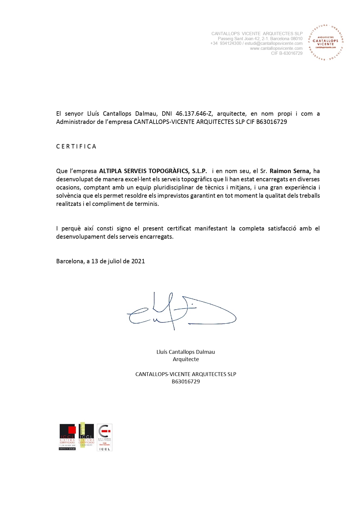
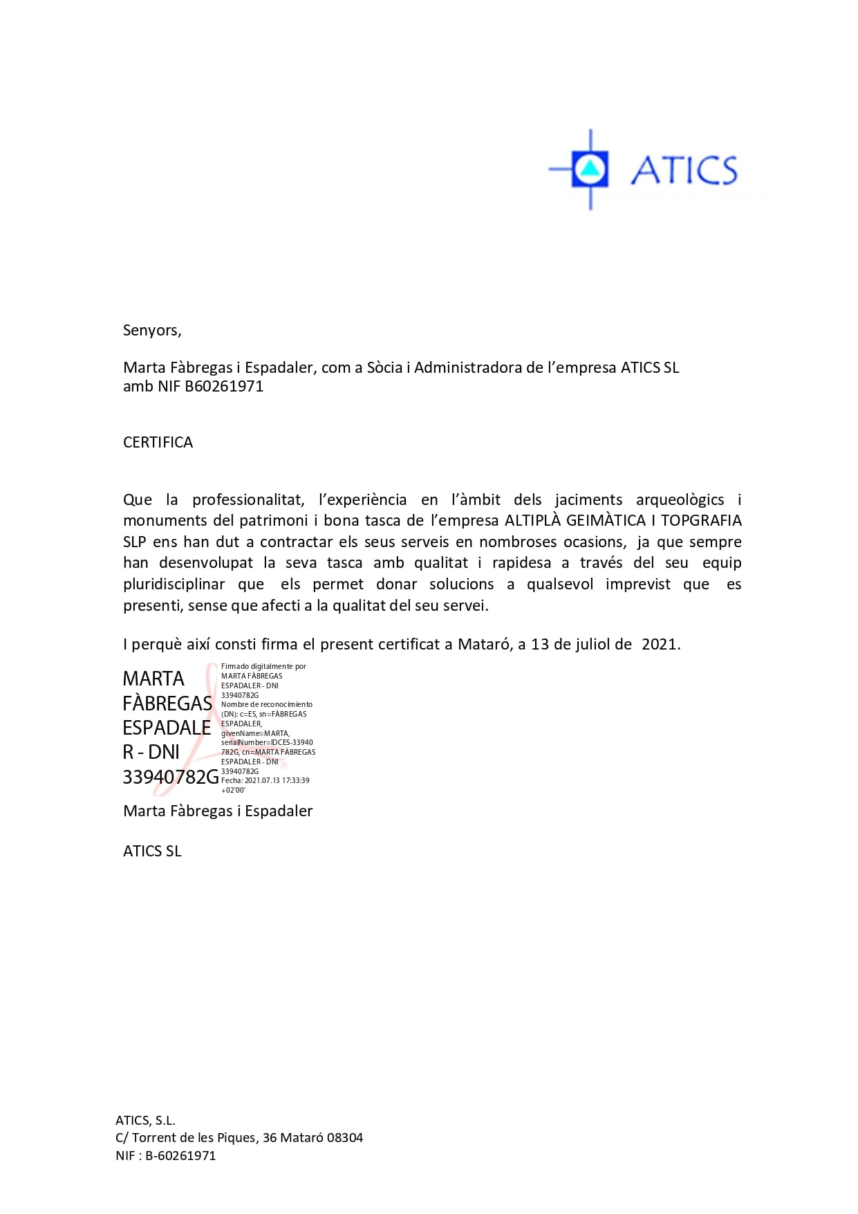
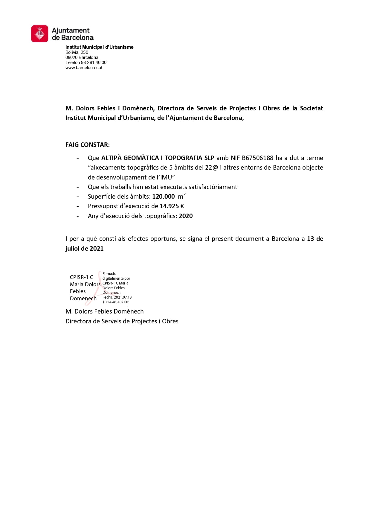
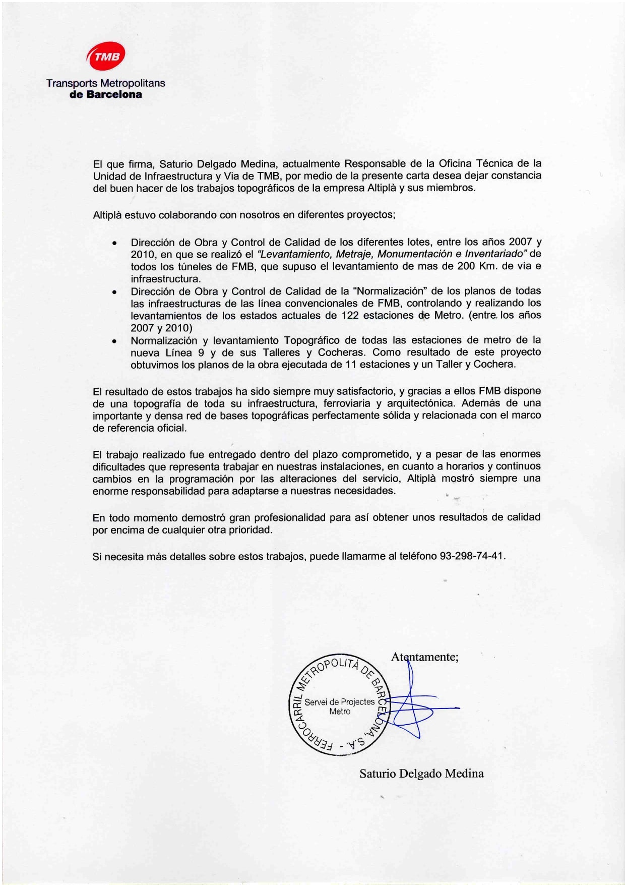
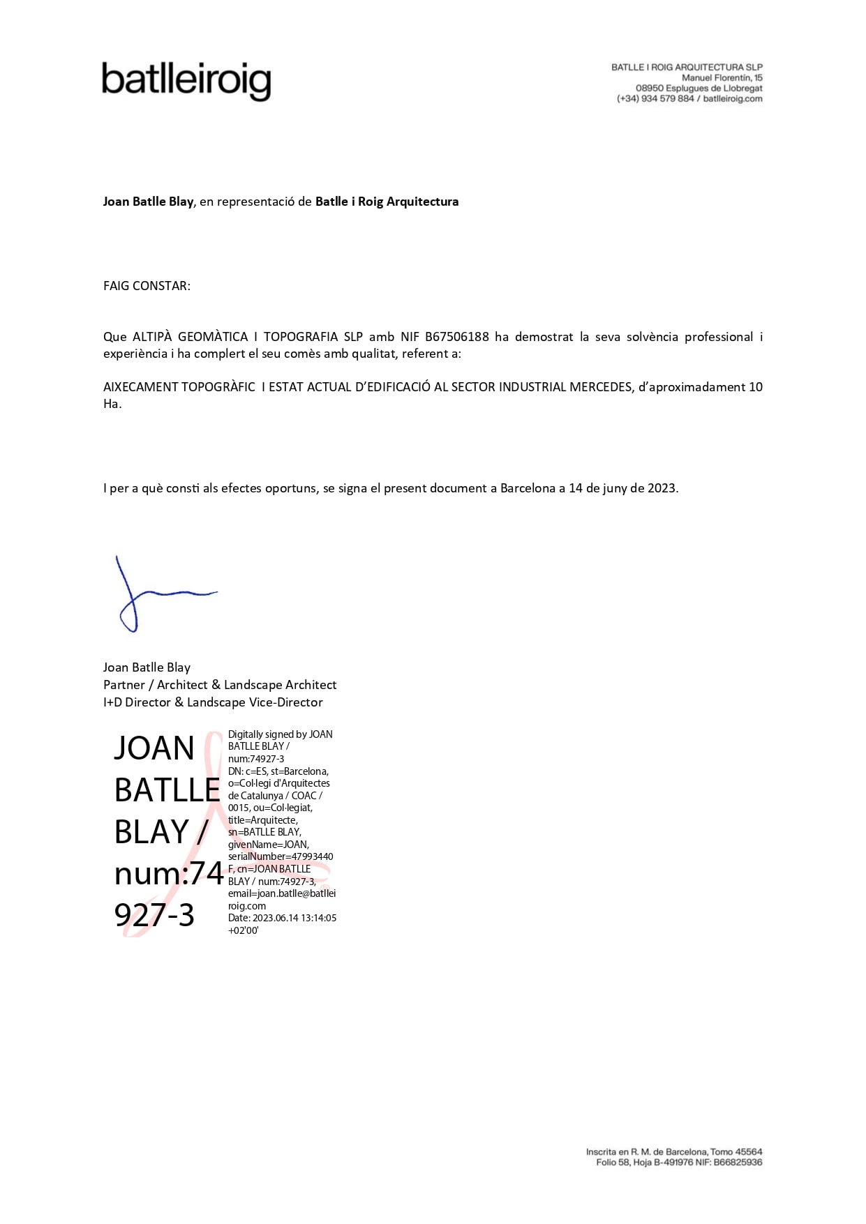
A coworker at Altiplà recommended him to us and he is now one of our collaborators. Efficient, fast and decisive.
Almu Perez
He has been very friendly and professional. He has advised us on a problem with some neighbors and his opinion has been very helpful. Very decisive and effective.
Jordi Miralles
Good professionals with extensive experience. We have been working with them for years and now we have decided to try the point cloud... a good tool to avoid having to be on site all day and have the measurements at hand.
Marta Costa
The best surveyors in Barcelona without a doubt. They understand the needs of architects and help prevent cost overruns with the precision of their work.
Ivan Serrano
Very professional people, total involvement in their work. I would recommend this company for the quality, speed and empathy with which they deal with their customers.
Fernando

References in Georeferencing Certificates in Catalonia

We have been issuing Georeferencing Certificates since the law came into force in 2015, with more than 350 cases resolved.

Altiplà has 6 Engineers with a Degree in Geomatics and Topography, therefore, with RC insurance and skills to carry out Georeferencing Certificates.

Do you have any questions?

This certificate is necessary in various situations, such as adaptation to new mortgage legislation, cadastral reviews, segregations, property groupings, purchase and sale processes and new construction certificates.

Resolution 11652 of October 26, 2015, which regulates the technical requirements for the delivery of information by notaries to the General Directorate of the Cadastre; and Resolution 11655 of October 29, 2015, which regulates the technical requirements for the exchange of information between the Cadastre and the Property Registries.

Cadastral discrepancies occur when there is a difference between the graphic information of the Cadastre and the physical reality of a property. These can be corrected through the Cadastral Discrepancies Amendment procedure.

Having carried out the corresponding measurement and compared it to the cadastral cartography, the need to modify the boundaries is assessed to adapt them to reality. This involves drafting delimitation acts with the neighbors that will need to be signed and attached to the rest of the technical and legal documentation necessary to start the procedure.

When drafting an amendment file, it is important to take into account the possibility of agreement on the boundaries with the neighboring neighbors. In this case, and through the current agreement between the College of Geomatics and Topography Engineers and the Cadastre Management, it is managed with a period of less than 2 months through a CDIS file.

If there is no agreement with the neighboring neighbors, the file to be drawn up will be of the REGI type and will have a term of about 6 months and will always be more uncertain, because it will depend on notifying the neighbors and therefore, the resolution may be favorable or not.

TELL US WHAT YOU HAVE IN MIND
ASK US FOR A QUOTE
GDPR*
ALTIPLÀ GEOMÀTICA I TOPOGRAFIA, S.L.P.
Carrer de Joan d’Àustria, 51 B-2
Poblenou – 08005 Barcelona
U.T.M. / E.T.R.S 89 (432449/4582648) 31T
Privacy Policy Cookie Policy Legal Notice