SERVICES

Photogrammetric and LIDAR Flights

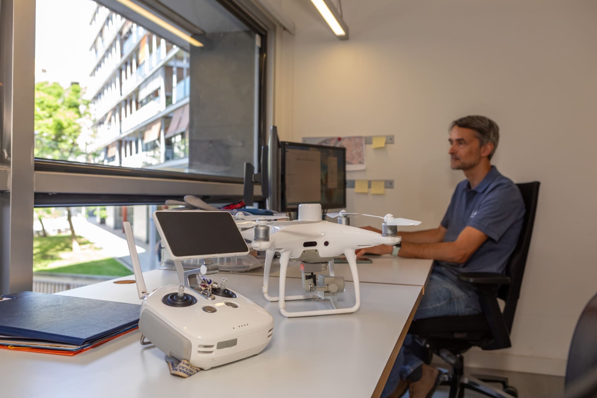
In recent years, UAV (drone) technology has revolutionized the way data is taken, allowing data to be taken with precision and efficiency in surveys of large areas and in areas of difficult access.
Altiplà is a Registered company of UAS Operators (AESA AND EASA) Members of Digital Catalonia Alliance. Altiplà has third party liability insurance.

Altiplà offers you free advice about what is the best process to follow according to your needs.
Applications of photogrammetric flights and LIDAR

Lifting of large areas

Lifting of roofs and interiors

Inaccessible areas

Orthophotos and 3D modeling

Uplift of areas with contaminated soil

Calculation of earthworks in landfills or quarries

Advanced technology for impeccable results

Phantom 4 RTK

This drone is known for its millimeter precision thanks to RTK (Real-Time Kinematic) technology, which corrects GPS data in real time.

DJI Matrix RTK

This drone can operate in adverse weather conditions and in difficult environments, such as mountainous or densely wooded areas.

Specific equipment for photogrammetric projects

Altiplà has equipment specifically designed for photogrammetric projects, which allows the capture of images from multiple angles, being ideal for the creation of detailed orthophotos and high-precision 3D models.

Mavic 2 PRO

Captures professional-quality images and videos, crucial for inspecting structures and other infrastructure with a high level of detail

Specific equipment for inspections and audiovisual reports

Allowing you to capture high-resolution images and videos in difficult-to-access environments, ensuring excellent visual results

Why choose Altiplà for your Topographic Surveys?

The diversity of projects executed with drones and the accumulated experience allow us to offer good advice, obtaining quality plans.

Avoid last-minute surprises, we provide the data you need, in the format you request within the established deadline.


Access to risk areas without direct intervention

Drones can operate in areas that would be dangerous or inaccessible to humans, such as cliff areas, damaged buildings, or regions affected by natural disasters. This allows critical data to be obtained without exposing workers to unnecessary risks.

Possibility of flying under clouds

Thanks to RTK technology and other advanced navigation systems, drones can fly in adverse weather conditions, such as low clouds. This ensures the continuity of the project without significant interruptions.

What our customers think

A coworker at Altiplà recommended him to us and he is now one of our collaborators. Efficient, fast and decisive.
Almu Perez
He has been very friendly and professional. He has advised us on a problem with some neighbors and his opinion has been very helpful. Very decisive and effective.
Jordi Miralles
Good professionals with extensive experience. We have been working with them for years and now we have decided to try the point cloud... a good tool to avoid having to be on site all day and have the measurements at hand.
Marta Costa
The best surveyors in Barcelona without a doubt. They understand the needs of architects and help prevent cost overruns with the precision of their work.
Ivan Serrano
Very professional people, total involvement in their work. I would recommend this company for the quality, speed and empathy with which they deal with their customers.
Fernando

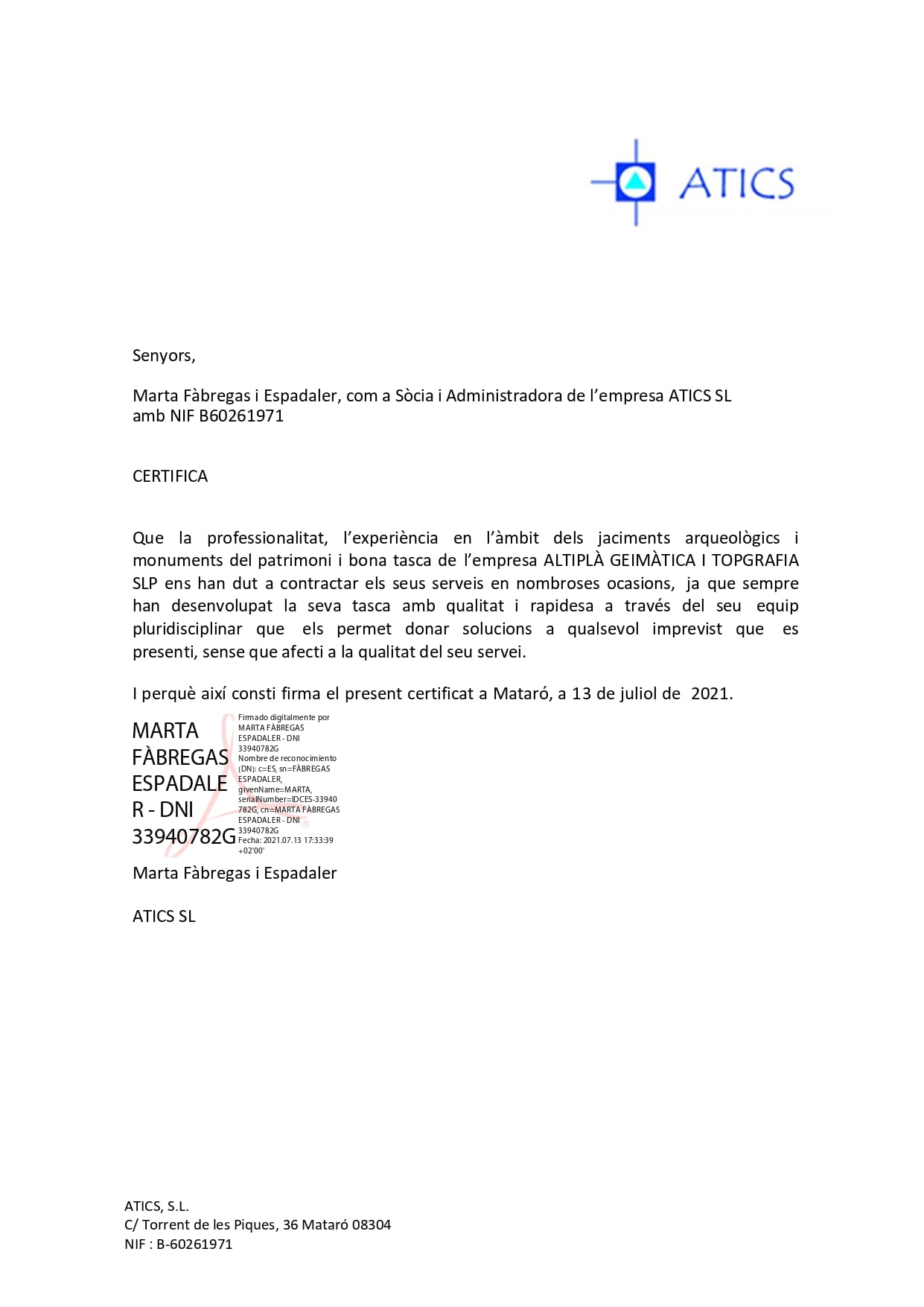
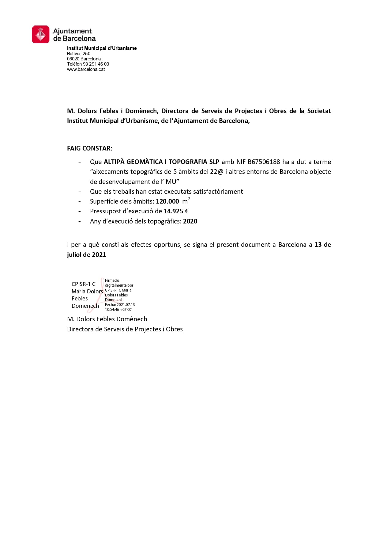
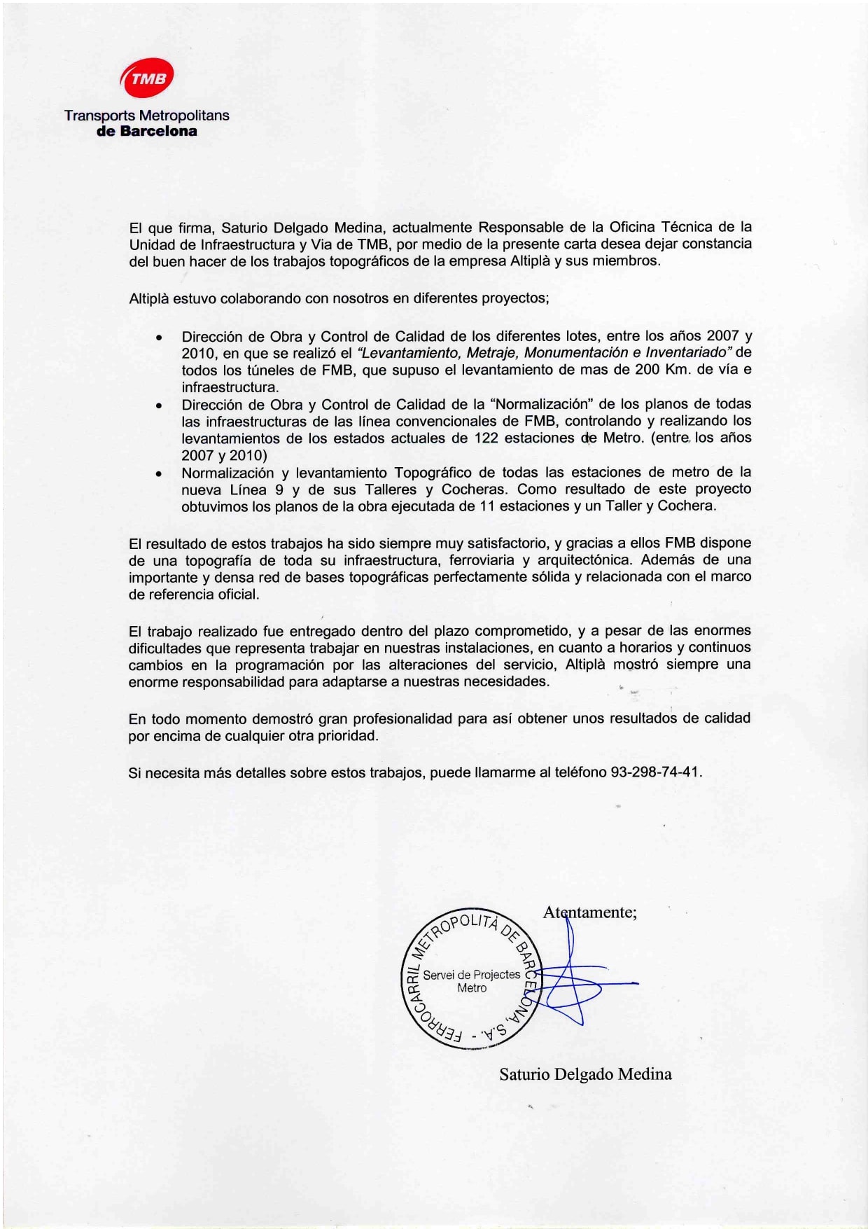
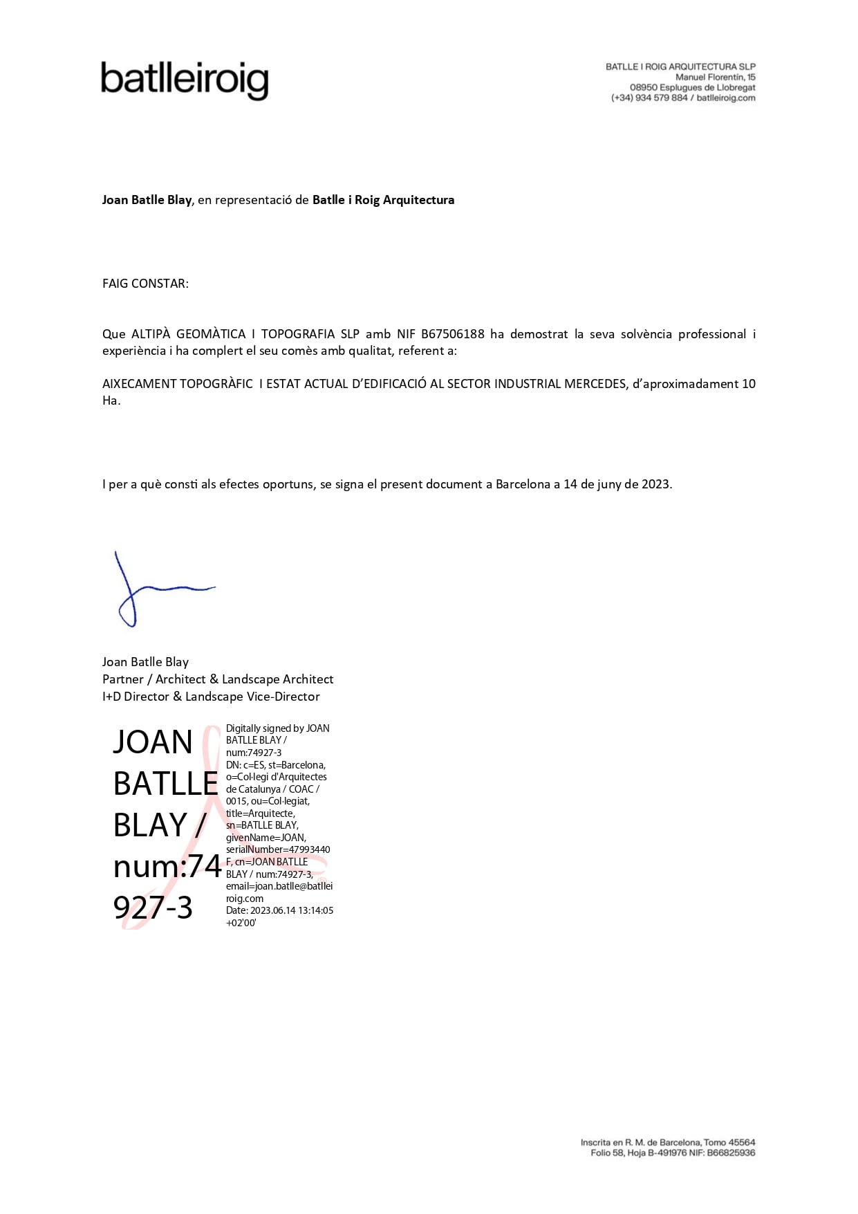
References in Photogrammetric and LIDAR Flights in Catalonia

We carry out Photogrammetric and LIDAR Flights in Catalonia with advanced technology and modern equipment.

We guarantee precision and reliability in each project, thanks to our team of experts dedicated to providing exceptional results for your topographic needs with more than 20 years of experience.

Do you have any questions?

An unmanned aerial vehicle or drone is a type of aircraft, reusable and without people on board, designed to carry out civil or military tasks controlled by a human remotely or with a certain degree of autonomy.

A photogrammetric flight is a method of capturing aerial images using a drone, which are then used to create detailed maps, orthophotos and three-dimensional models of a terrain or structure. This technique is very useful in engineering, architecture and land management projects.

LIDAR (Light Detection and Ranging) is a technology that uses lasers to measure distances and create 3D digital models of the terrain. When integrated with a drone, LIDAR allows for a very accurate representation of the terrain, even in areas with dense vegetation or complex terrain.

Drone flights are ideal for a wide variety of projects, including surveying large areas of land, inspecting structures, creating high-resolution orthophotos, and 3D mapping in engineering, construction, and environmental management projects.

Altiplà drones can obtain images with a resolution of up to 1 cm, which allows great precision in capturing fine details and in creating digital terrain models and orthophotos.

TELL US WHAT YOU HAVE IN MIND
ASK US FOR A QUOTE
GDPR*
ALTIPLÀ GEOMÀTICA I TOPOGRAFIA, S.L.P.
Carrer de Joan d’Àustria, 51 B-2
Poblenou – 08005 Barcelona
U.T.M. / E.T.R.S 89 (432449/4582648) 31T
Privacy Policy Cookie Policy Legal Notice