Altiplà offers you free advice for the design of the most appropriate Network in each case.
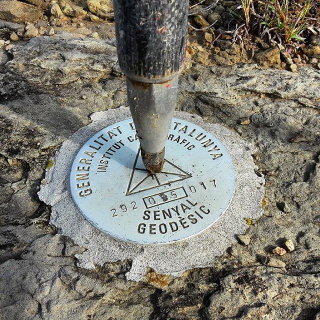

Accuracy and reliability: Geodetic networks provide a stable and accurate foundation for a wide variety of projects, ensuring that all measurements and operations are based on consistent and reliable data.
Long-term stability: A well-maintained geodetic network can serve as a reference for decades, being a valuable resource for future engineering, cartography, and territorial management projects.
Support for territory monitoring: Allows the monitoring of tectonic movements, subsidence, and other phenomena that may affect the safety and viability of infrastructures


They serve to ensure that all parts of an infrastructure project are aligned and built to specifications, ensuring accuracy at every stage of the project.
They are essential for monitoring ground movements and other structural deformations, allowing you to detect and react to any changes that could compromise safety.
Large-scale infrastructure projects, such as roads, bridges, tunnels, and high-precision mapping projects benefit enormously from the use of geodetic networks.