The information captured by laser scanners reflects the current conditions of a building or work. This data capture can be performed before, during or at the end of the work or intervention. Laser scanner work minimizes the time in the field to capture data.
1. All 3D information is captured which is seen with a high degree of precision, apart from 360⁰ color images. This information can be viewed, analyzed and managed comfortably from the office. Reducing field visits by project technicians and managers.
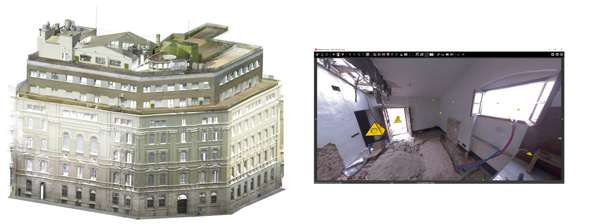
2. Design and generate plans with precision and security. During modeling or generating plans from the point cloud, interpretation or having to make estimates is eliminated, everything can be measured directly. With this 3D information, all plans, sections, elevations and modeling for BIM projects can be generated if necessary.
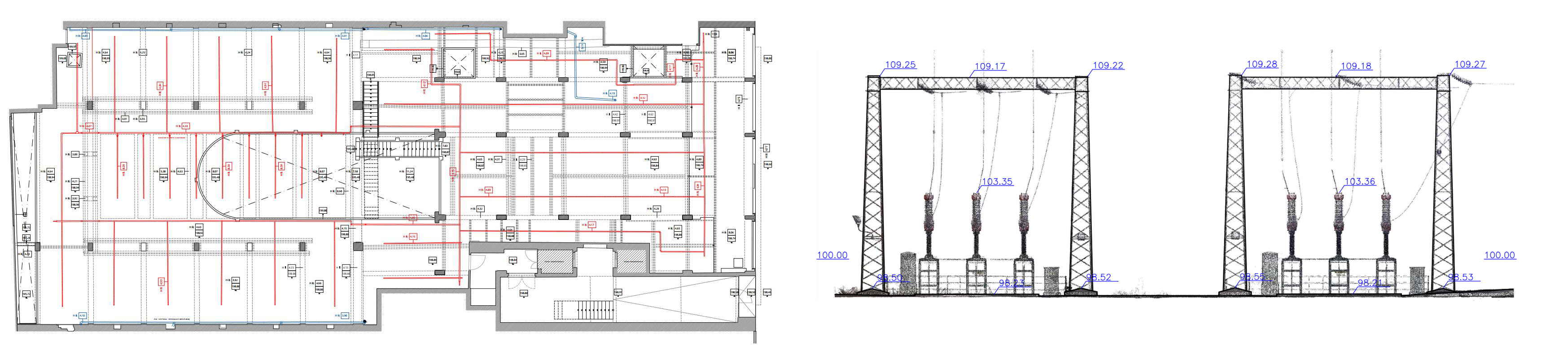
3. DisplayThe point cloud facilitates interpretation and allows concepts to be explained in a much simpler way, while also interpreting the building or work as a whole.
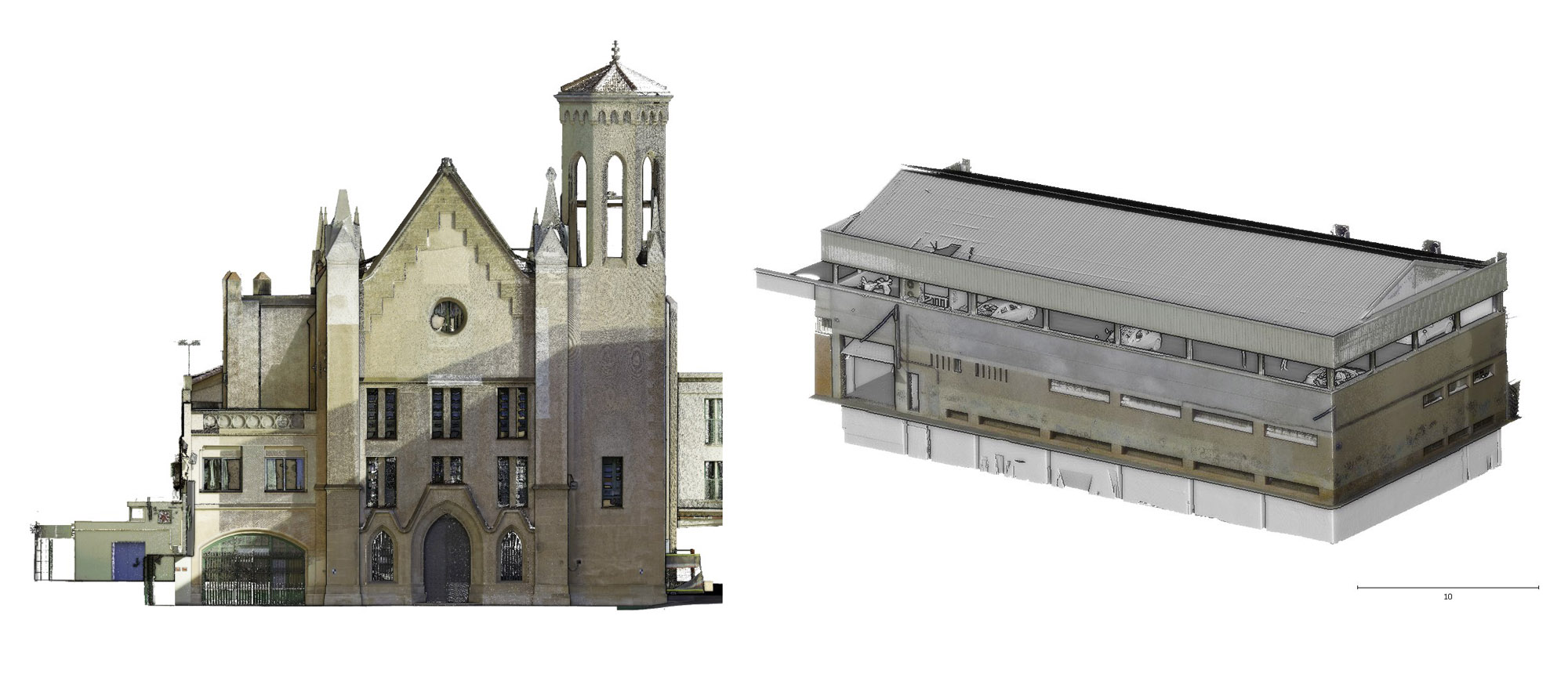 Example 3D web viewer link: http://www.altipla.cat/magatzem/oficina/
Apart from data capture and map generation, Altiplà offers training for the visualization and management of this type of data. You can contact us for more information: altipla@altipla.net – 93 300 95 25