LARGE DIGITAL TWINS
- Projects



There are often tedious tasks that seem eternal, but if well planned, they can become distracted and agile days, as long as we manage to optimize routes. As the saying goes, for example, a button.
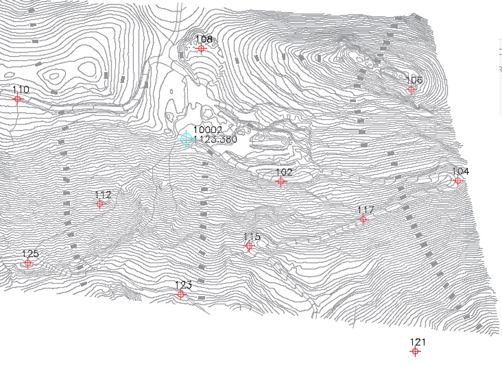
Figure 1
Let's assume that we have the task of checking a series of points scattered over an area of between 50 and 80 Ha and separated from each other by approximately 100 meters. Among them, only those close to the main roads can be accessed by car, while the rest, we will always find them with our legs as a means of locomotion. (Figure 1)
The first option would be to do an east-west or north-south sweep, however, we see that it is not a flat terrain and that the steep slope in some areas will make us excessively tired. We will go too slowly and the work will seem eternal when what we propose is to move quickly and agilely. It is therefore important, a good design of the route to follow.
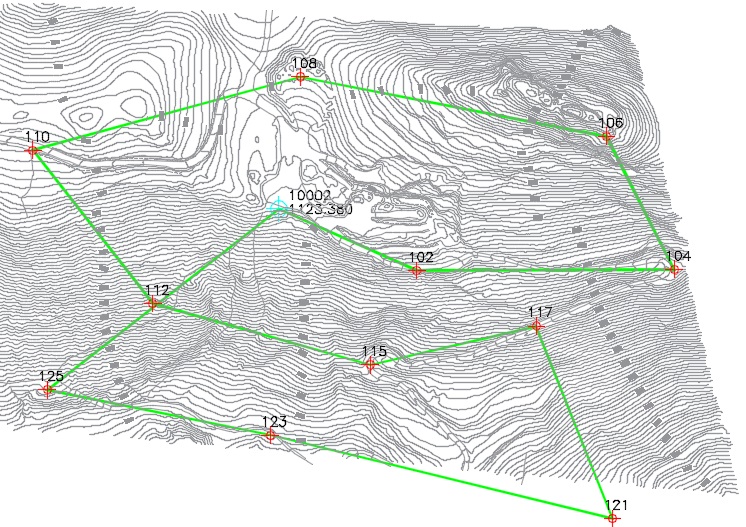
Figure 2
As can be seen in Figure 2, we have spent a good deal of time studying the possible routes, as if it were a Rogaine, in which participants are given time to prepare the optimal route and where the most important thing is not speed but safety in choosing the route that will take us through the maximum number of milestones, which in this case must be all of them. Hence the routes marked with a green marker, grouping the points by sectors, closer or easier to access, whether conditioned by their topography, slope or access by vehicle.
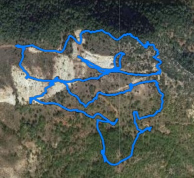
Figure 3
In figure 3 we see the track resulting from a 4-hour day in which we have covered 12 km and about 200 meters of elevation gain, where the straight lines connect the journeys we have made by vehicle to start each of the areas with pre-designed routes, while the rest of the lines represent the recorded routes that to a greater or lesser extent must resemble the proposed ones.
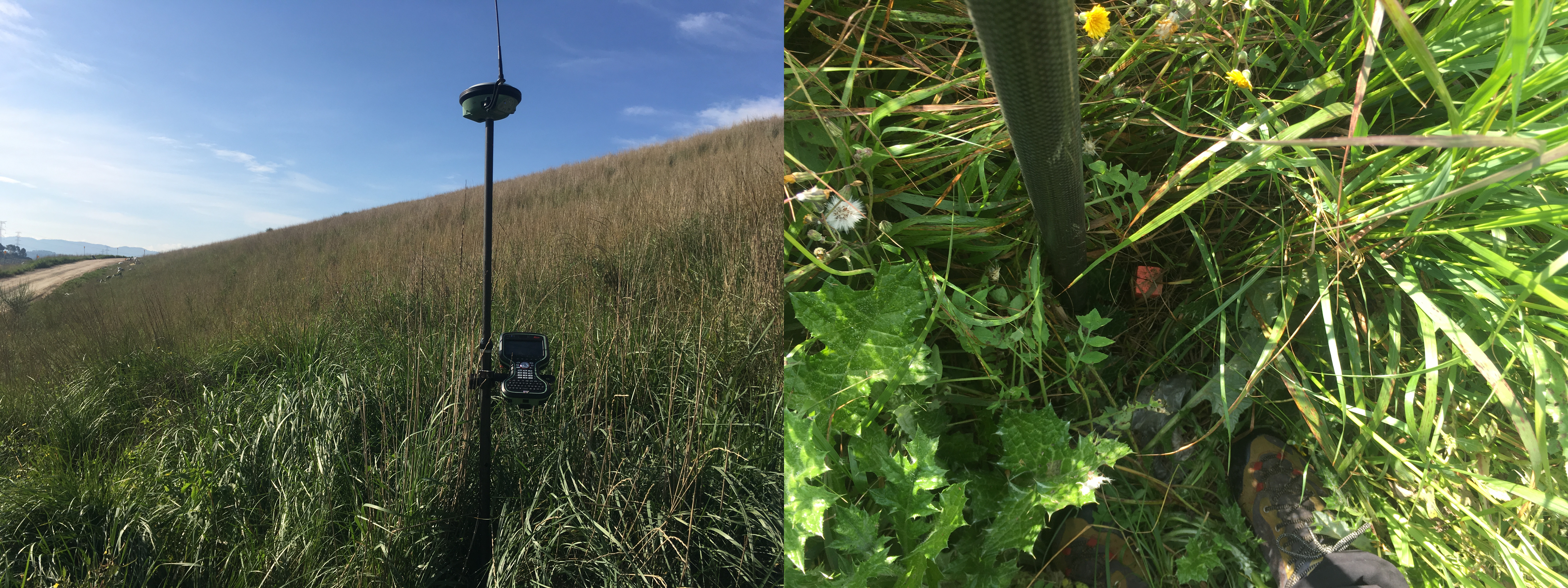
Figure 4
We already know that we are not talking about an orienteering race and we highlight some differences, such as that in this case we are the only participant and that as we have already said, we have to go through all the points. Importantly, in orienteering races the beacons are brightly colored and are accompanied by a description, but we have found that spring is advanced and the vegetation has camouflaged the landmarks that we have to find. (Figure 4).
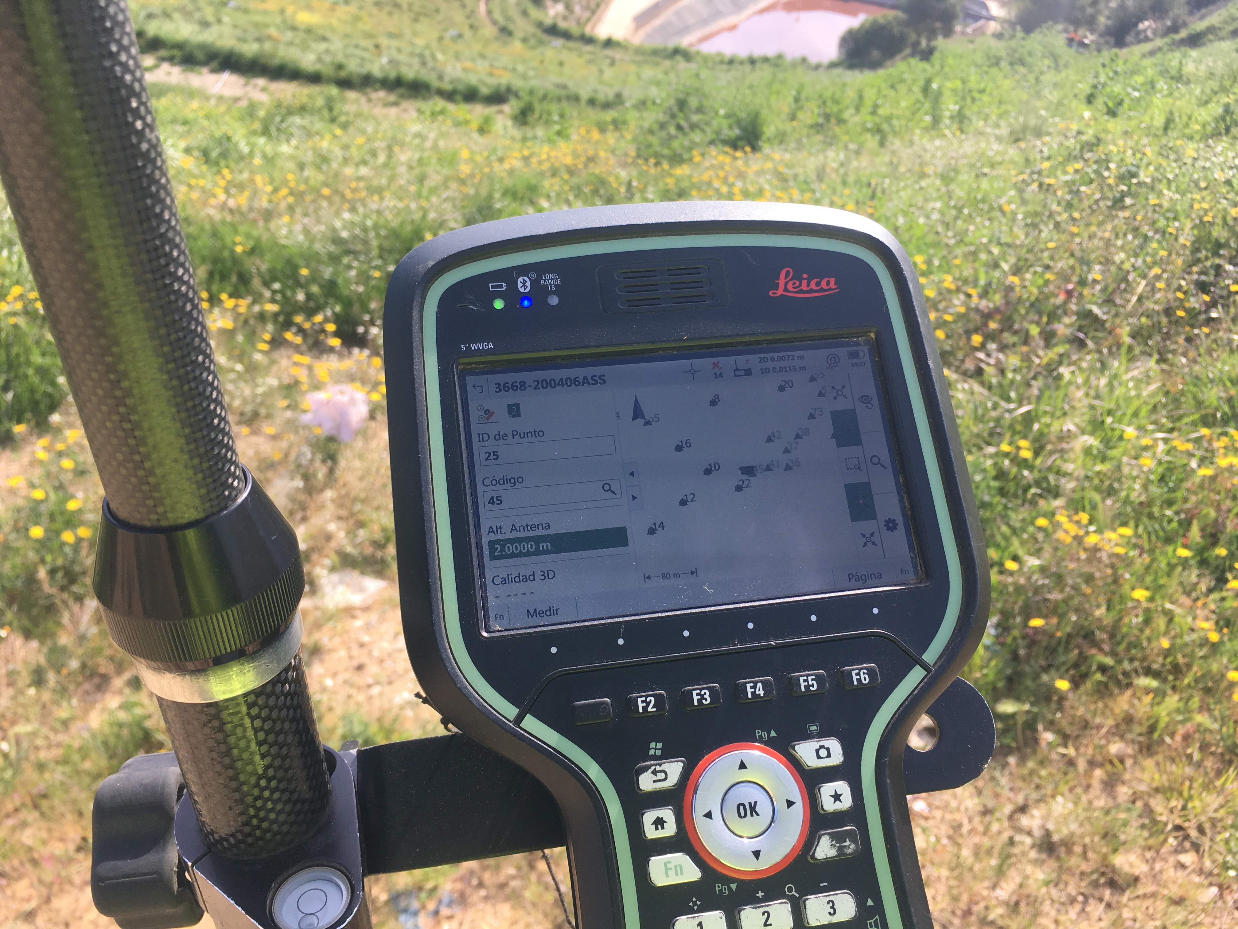
Figure 5
And since this is work, we don't travel as light as we would like, but to compensate we have a dual-frequency GPS that works connected to a radio link with sub-centimeter precision and will guide us to locate landmarks, no matter how hidden they are.
And we have finished the day, with all the points read, having carried out the exercise of good route planning, the result of reading the terrain and previous work that has proven to be of great help for efficient field work, at the same time agile and distracted. There is no medal, we return to the office.