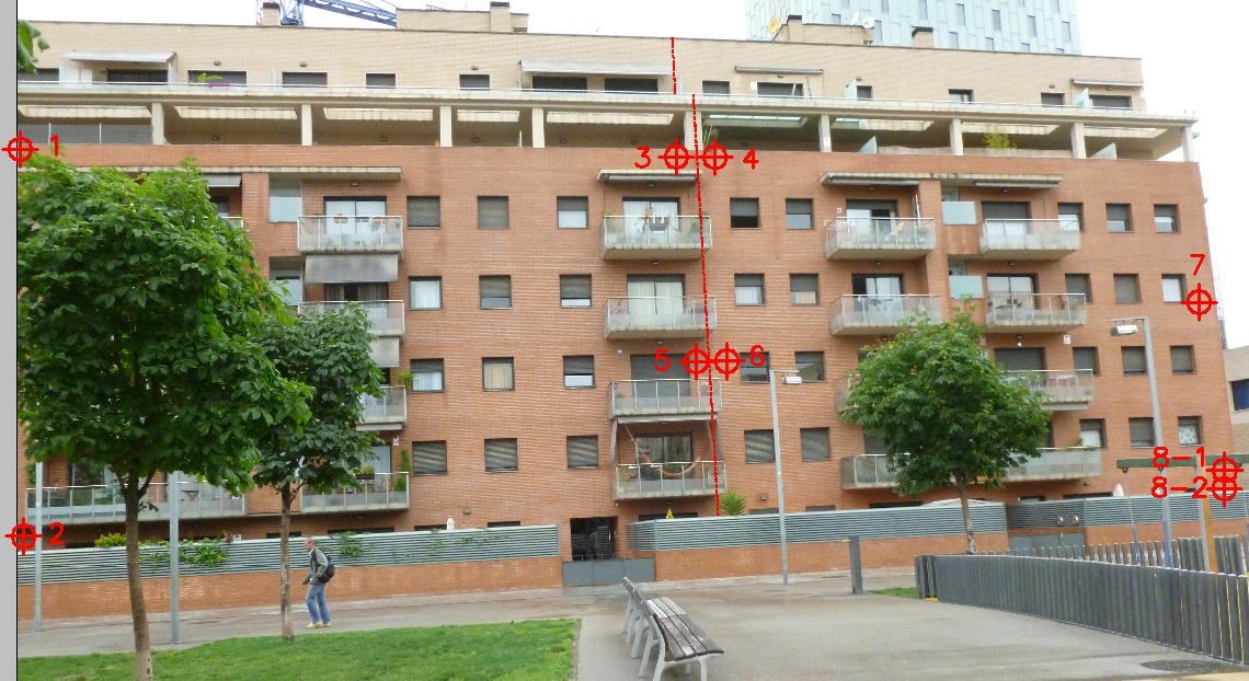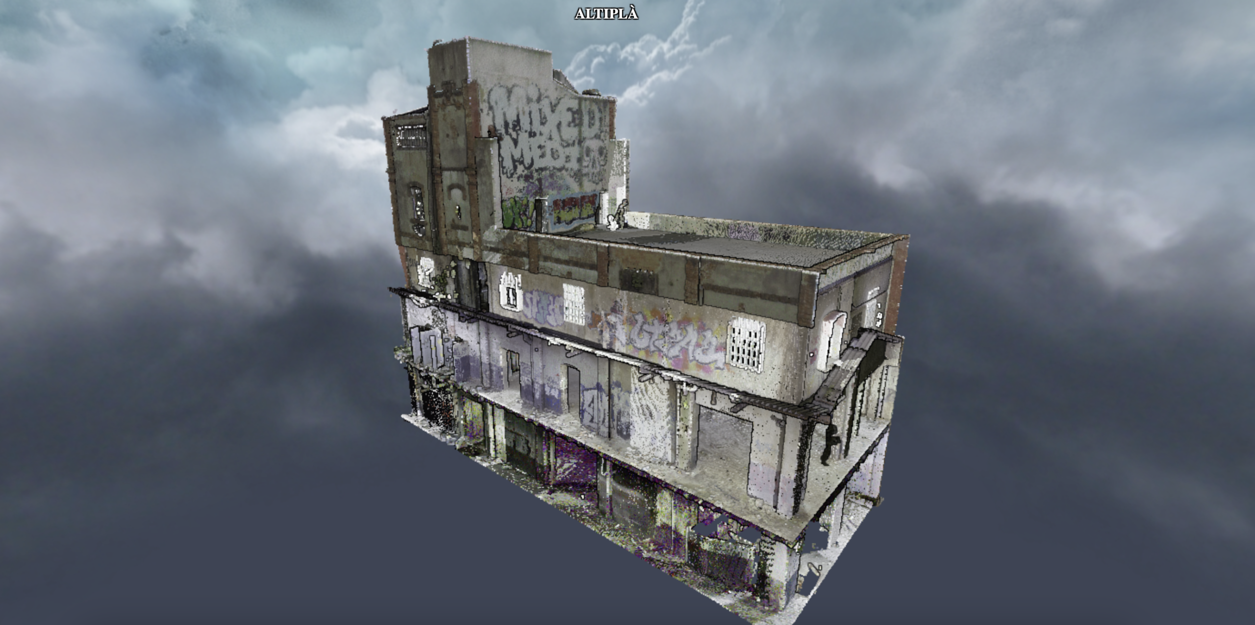
DIGITAL TWINS – DIGITAL TWINS
- Projects



To generate a large-scale digital twin, it must be possible to guarantee high production performance without altering the quality of the captured data.
To be able to execute this type of project we have used both static (BLK360 – G2 RTC) and dynamic (NavVis VLX) laser scanners.
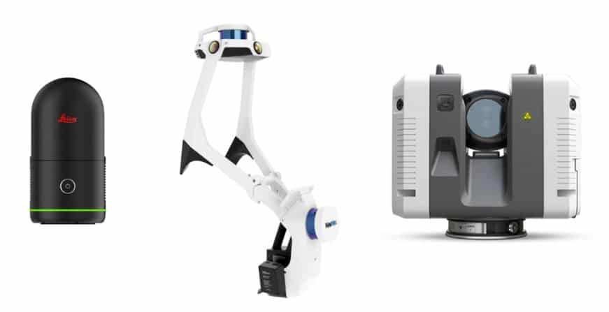
Equipment: Leica BLK360 G2 – NavVis VLX – Leica RTC360.
The Altiplà team has carried out several large projects (buildings with a total built area of over 40,000 m²) with high quality results. These projects have required:
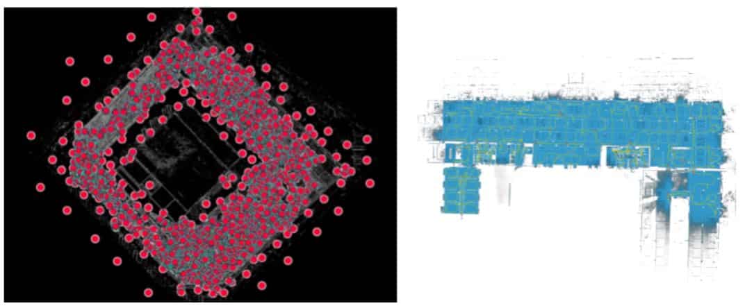
Left image: plan view of the scanners made with RTC/BLK. Right image: plan view of one of the routes made with the NavVis VLX equipment.
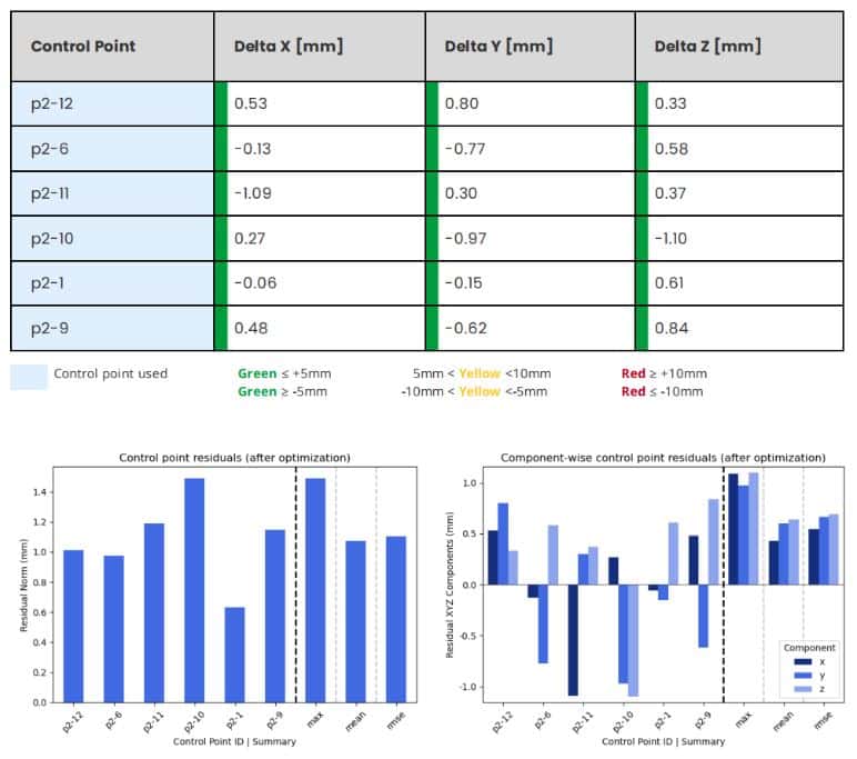
Always carrying out quality controls by measuring control and verification points throughout the work area.
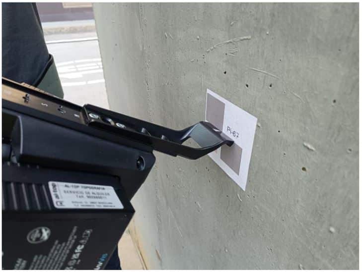
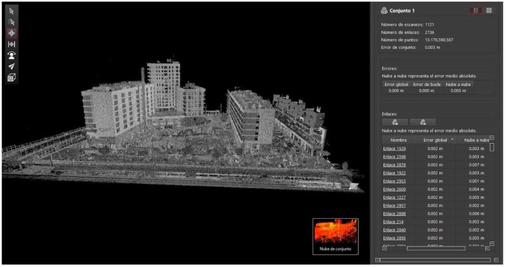
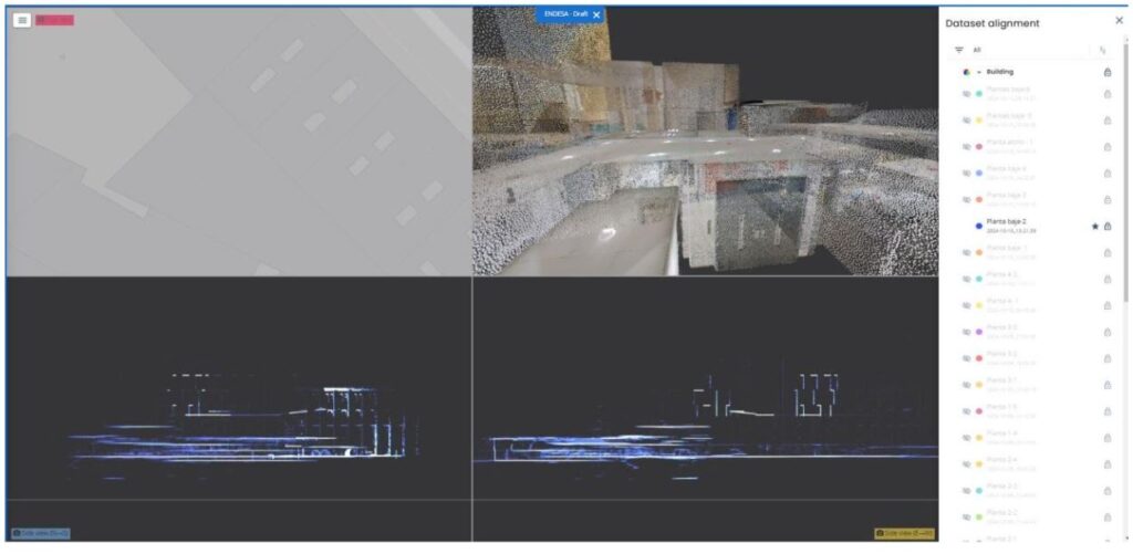
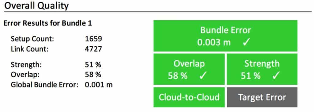
The data captured with both systems is merged into a single point cloud.
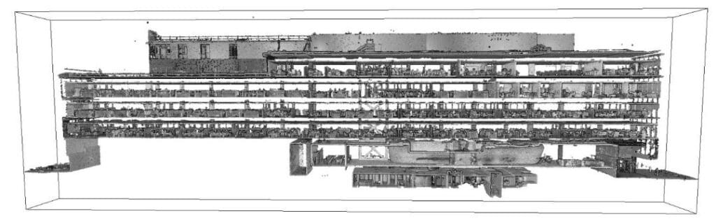
Once all quality controls of the final point cloud have been completed, the team of architects begins the interpretation and delineation phase for the generation of:
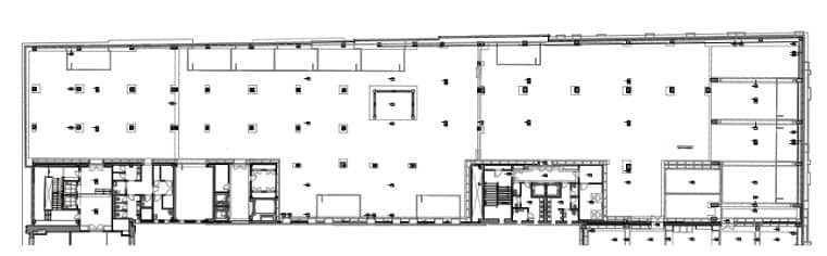
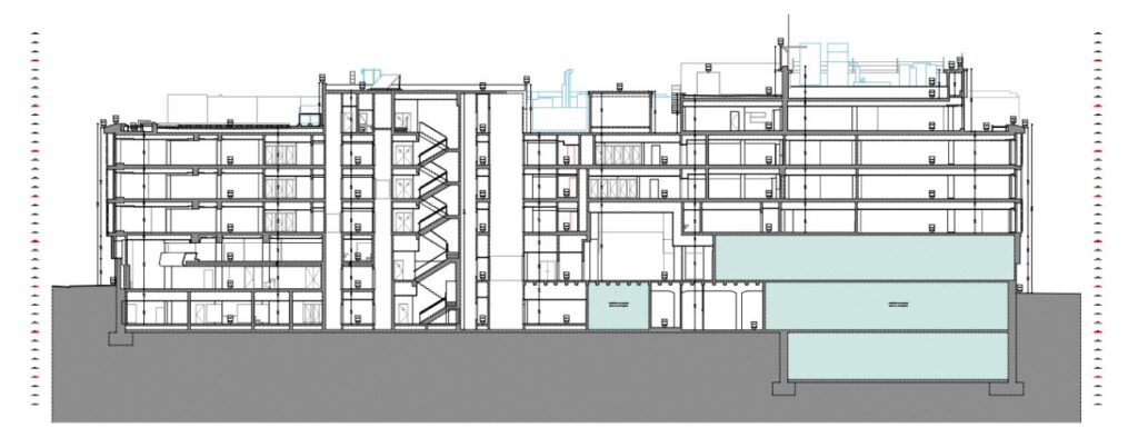
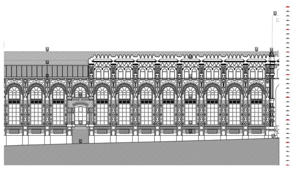
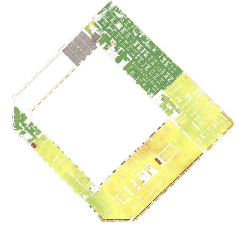
With the point cloud, apart from delineating plans, different analyses can also be generated, such as detecting the different elevation levels existing on the floors.
CONCLUSIONS
The experience has been quite positive. The field time has been partially reduced and the plan delineation phase has been able to advance. The final point cloud, formed by the data captured and processed by the different teams, is very homogeneous and has passed the quality controls carried out. The differences with respect to the control and verification points captured with total station, throughout the work area, are within the expected tolerances.