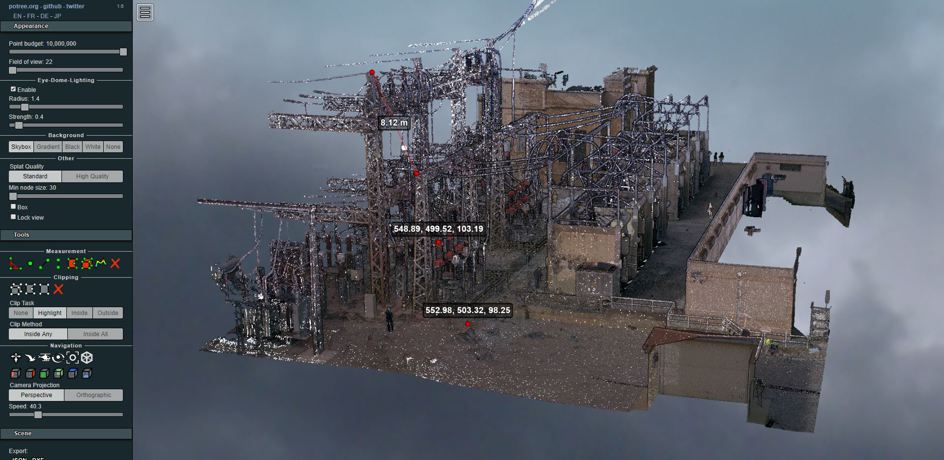
Laser scanning of an electrical substation
- Uncategorized



During the last 12 months Altiplà has produced a total of 1,000 hectares of 1: 500 and 1: 1,000 cartography from images captured with cameras integrated in drones. The projects cover different areas: quarries, landfills, flood studies, linear work, PDU, …
All the generated products in photogrammetric workstations (with NVIDIA 3D vision systems) follow multiple controls to guarantee the quality of the final product.
Additionally, products such as orthomosaics, Digital Surface Models (DSM) and Digital Elevations Terrain Models (DETM) are generated, documents widely used by engineers, architects, geographers, geologists and other professionals who work with the territory.

Cartography view
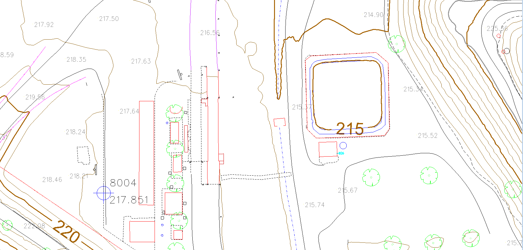
Cartography detail
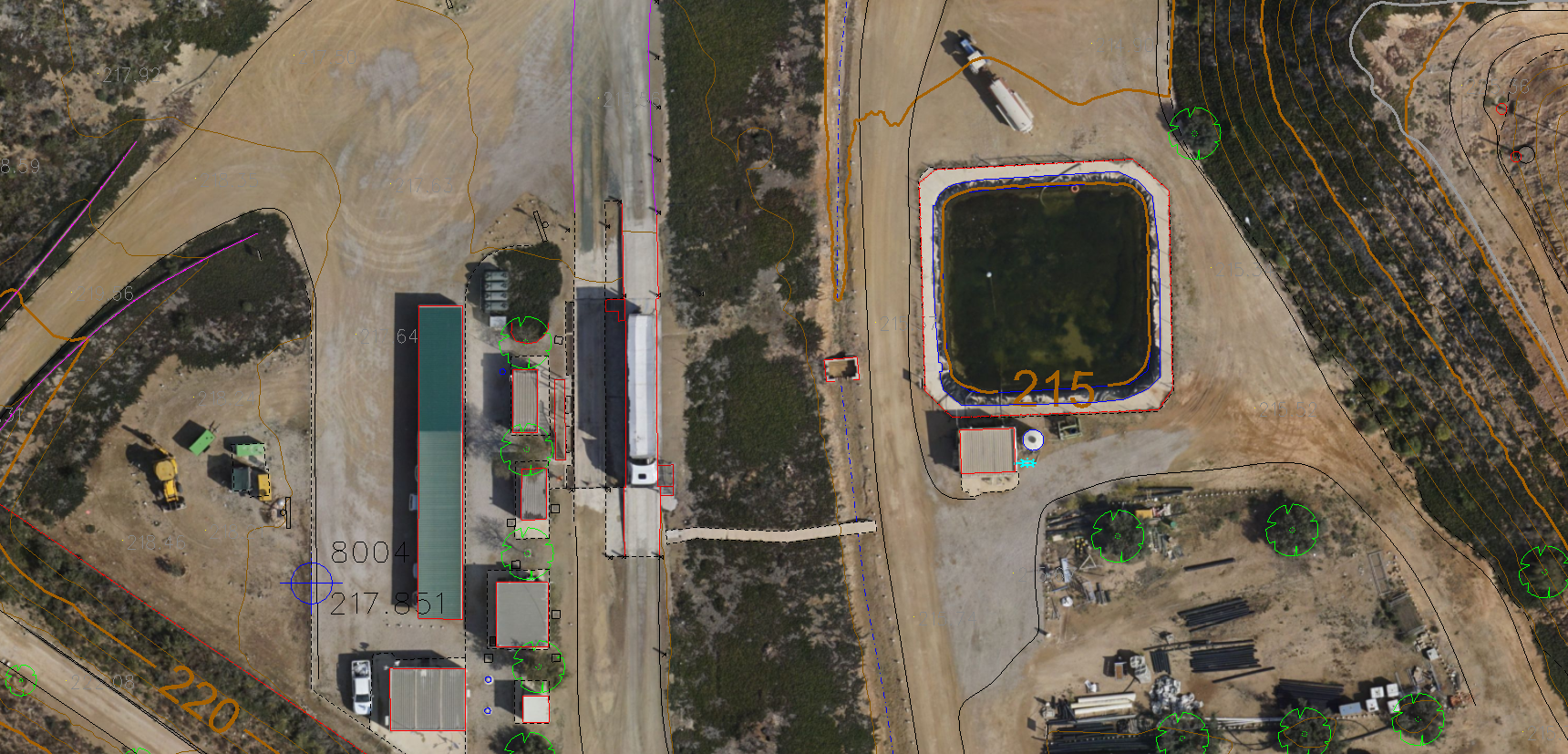
Orthomosaic with cartography

MDS and section
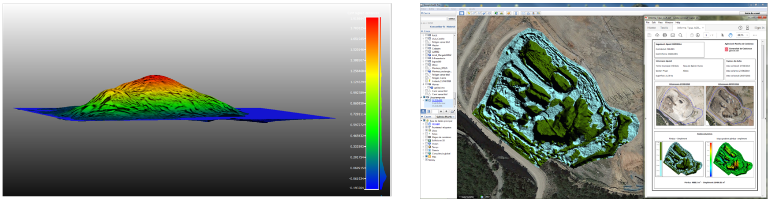
Volumetric control