Cartography production of drone images (UAV)
- Uncategorized



Application of laser scanner in the construction of an electrical substation.
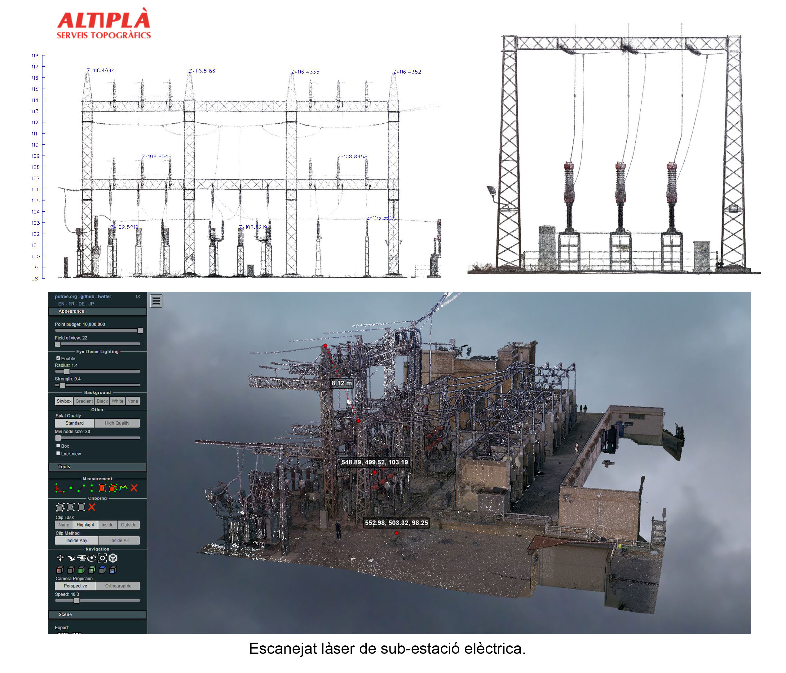
When faced with the request to survey an electrical substation, it is difficult to specify the elements from which data must be taken and represented. If the initial request contemplated a survey using classic methods with a total station, after seeing the result and the possibilities, it is most likely that this will not be the last time we choose to take data using a laser scanner.
The first tool we obtain once the point cloud registration is done is the 3D viewer in the cloud, which allows us to obtain data about the cloud itself with simple tools, such as taking measurements or coordinates. The client who has worked with this tool has reported to us that the tool has been very useful to him, especially if we consider that he has obtained a lot of data that probably would not have been represented by classical methods.
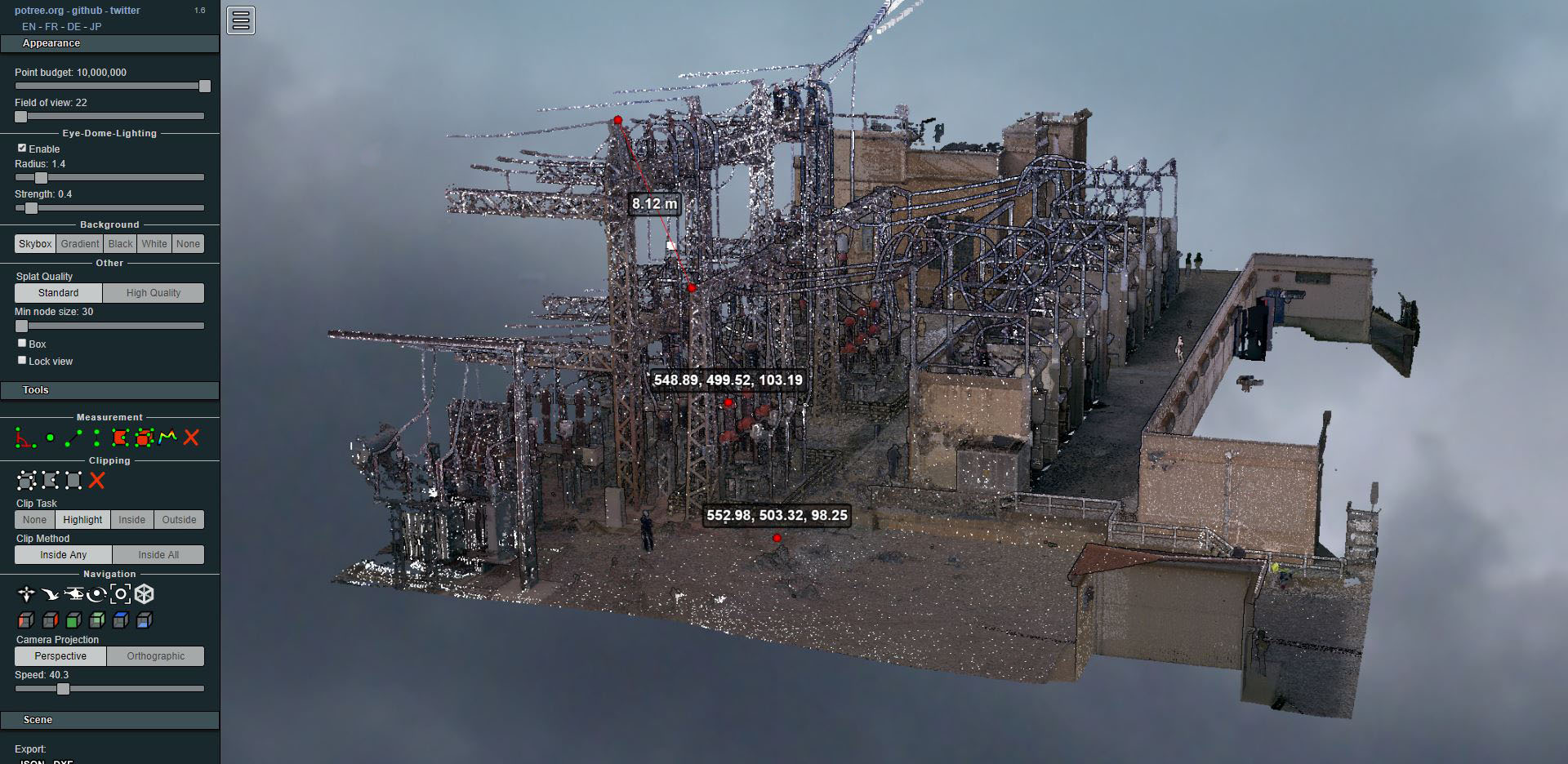
Coordinate identification using 3D viewer in the cloud
From the point cloud, the projection is obtained that will allow us to delineate or dimension the section itself.
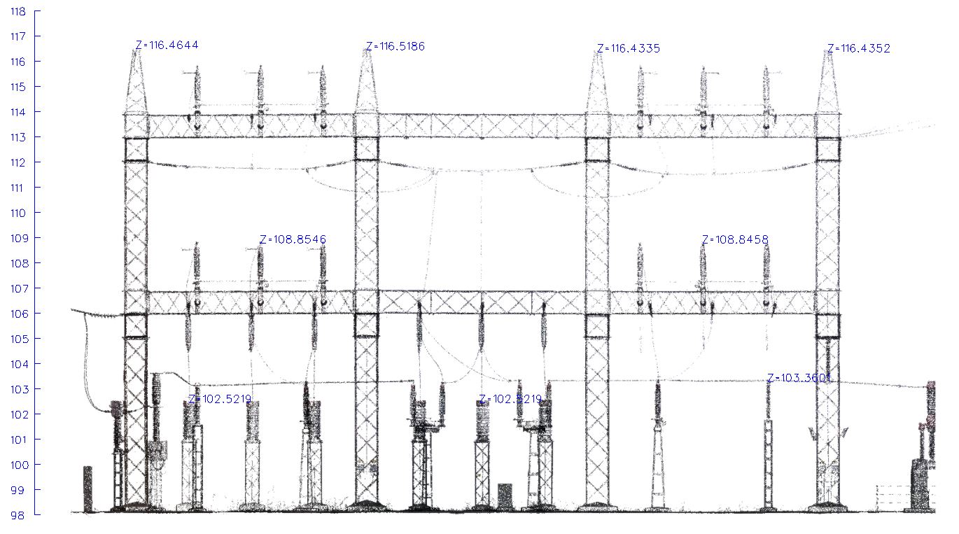
Notes made on projection
The level of detail obtained was much higher than what we would obtain using classical methods and the field work was carried out in a single day, minimizing contact with the installation.
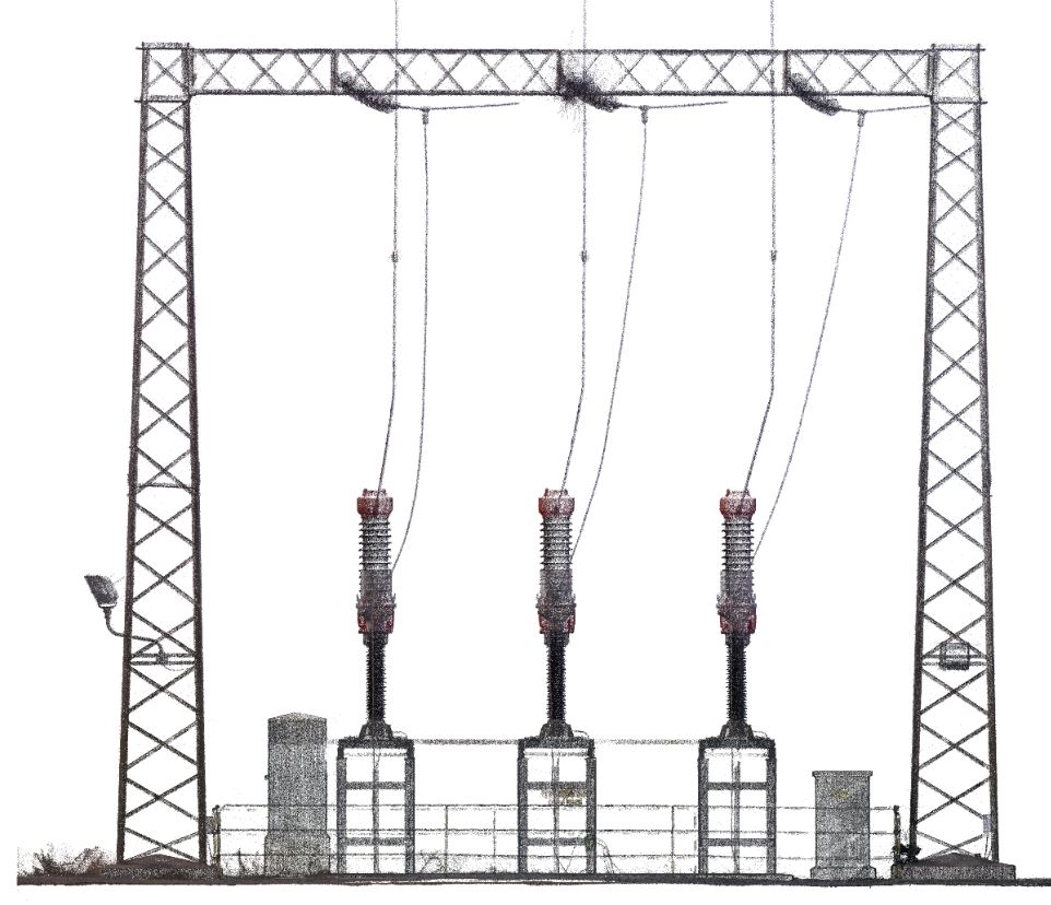
One of the details of the facilities that would not have been included in the classic survey
On some occasions it can also be useful to locate the hot spots of the installation. Well, surveying with a scanner also allows you to detect the relative temperature difference between areas.
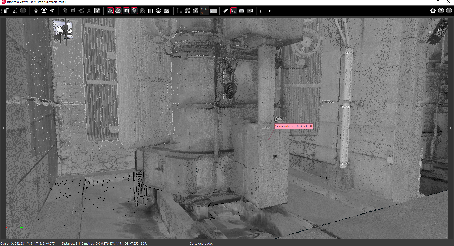
Relative temperature
Advantages of laser scanner surveying in complex installations: