3D viewer online course
- Technology



BACKGROUND
At Altiplà Topographic Services, we have been dedicated for years to producing as-built building plans, which are necessary when undertaking a renovation project, a sale or purchase, a change of use…
In recent years we have been adopting new forms of data capture. Initially, data collection was carried out using a total station and a laser distance meter, where the interpretation and drafting of building sketches was done on-site. Currently, data capture, without abandoning the previous tools, has changed drastically with the use of laser scanners. In each case, we will use the system that best suits the needs, whether in terms of accuracy, data-collection speed, or budget.
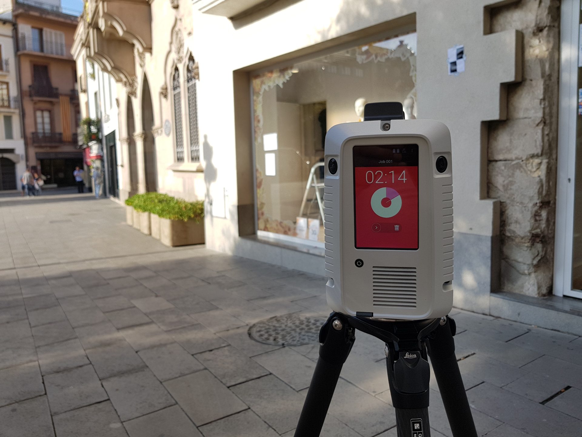
Leica RTC360
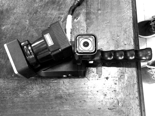
Geoslam
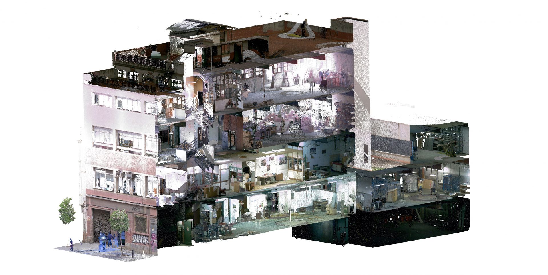
Although the system may initially have a higher cost, the time savings make up for it, especially when the building to be erected is larger in scale. The laser scanner gathers far more information than traditional methods, adding imagery that allows for a more efficient interpretation in the subsequent phases of work.
Once the scan is complete, we obtain TruView, an application that allows a virtual tour from the scanner's point of view, with the color derived from the photographs taken by the scanner.
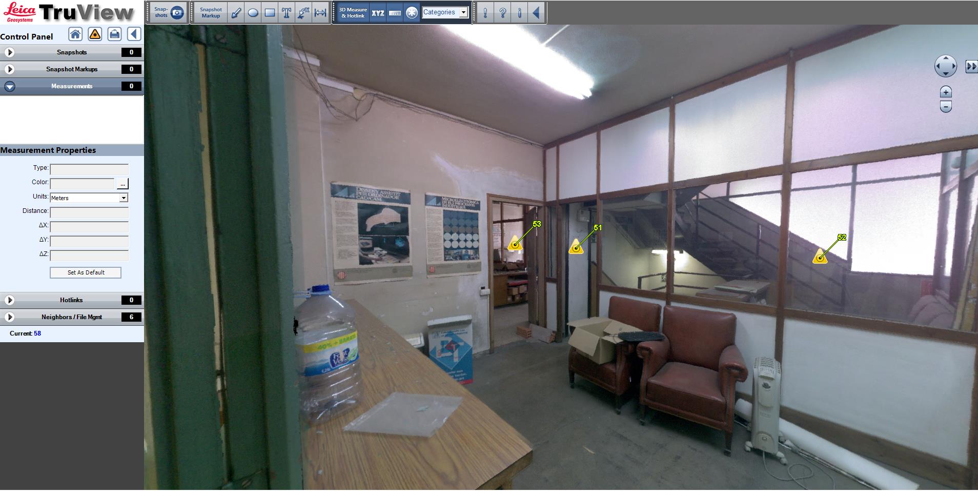 Truview (watch video)
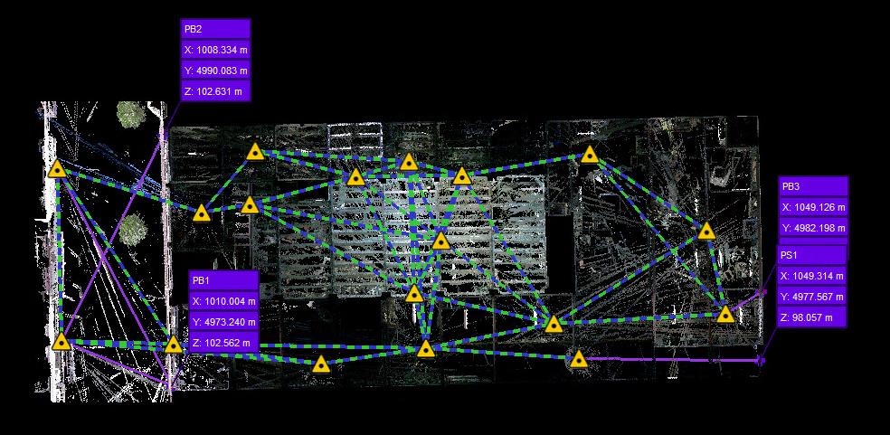
Scan log
Data processing offers various possibilities, including delivering the point cloud, projected facades on which to outline the chosen level of detail, plans, sections, etc.
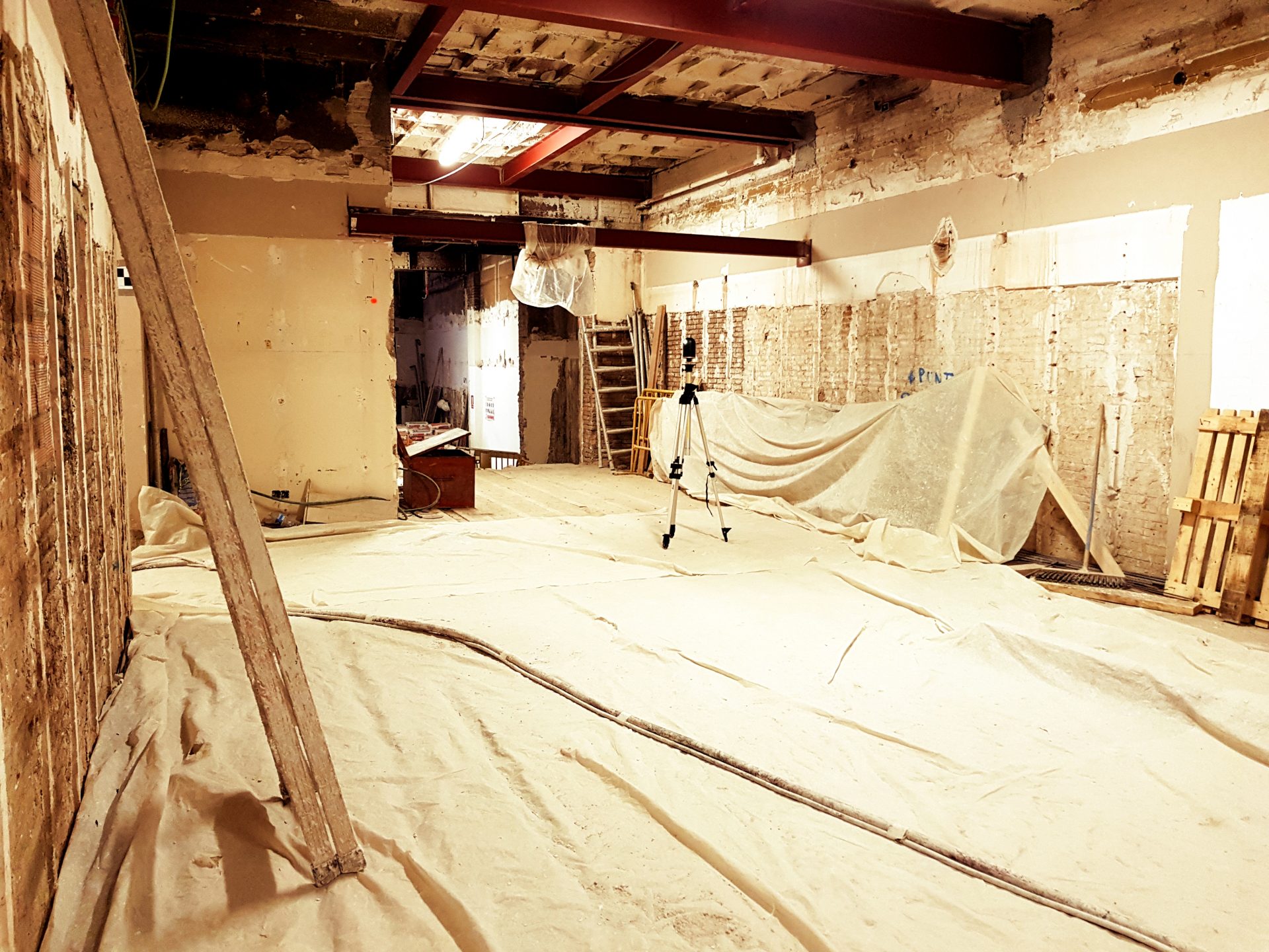
Survey with Leica BLK360 scanner
Request a no-obligation quote here: http://www.altipla.cat/ca/sollicitar-pressupost/