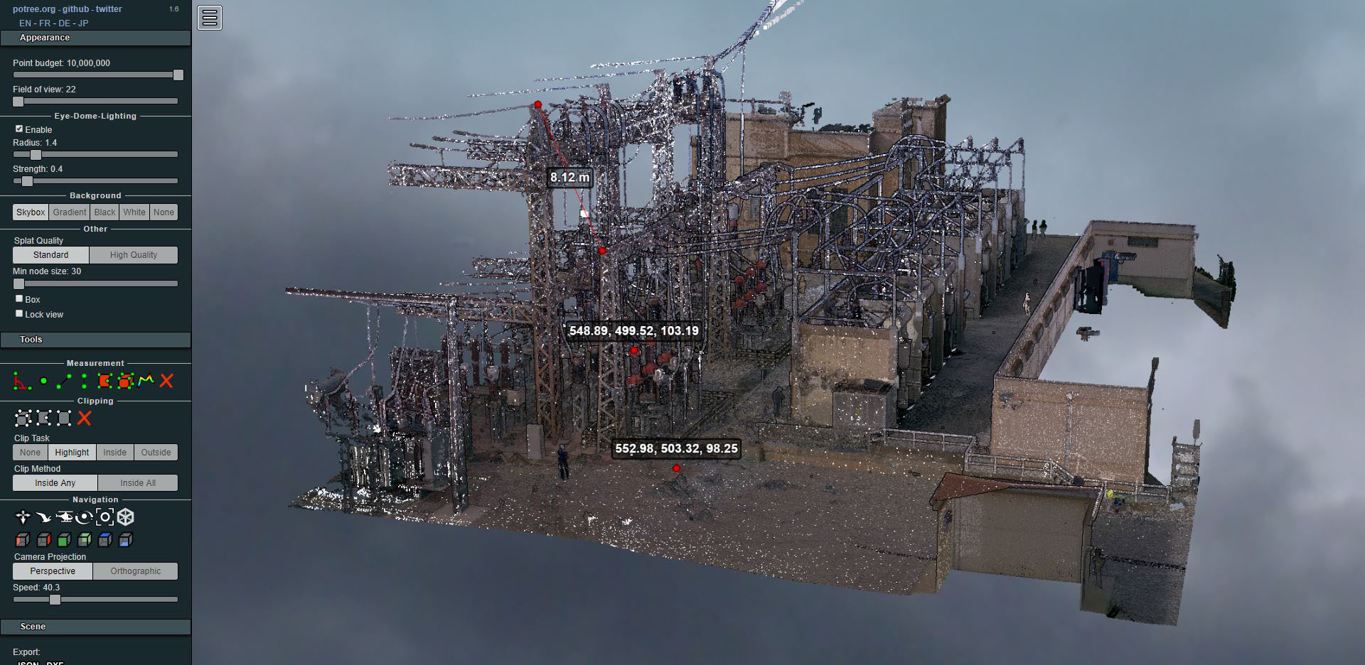
Laser scanning of an electrical substation
- Uncategorized


We often find discrepancies between the registered area and the cadastral area, or in the geometry of our parcel's boundaries. The actual area, however, is the one measured within the parcel's boundaries, provided that all neighboring property owners agree.

Our task as Surveying Technicians is to prepare the topographic plan, clearly marking the boundaries that are clear, and to conduct conflicting boundary surveys with the various neighbors to establish the boundaries unequivocally when disputes arise.
We work both in the field and on drafting the discrepancy amendment report required to resolve the file with the General Directorate of Cadastral Survey, while also providing a boundary location and description necessary to carry out the corresponding corrections in the Land Registry.
In other cases, this discrepancy amendment report will be sufficient for the Notary to certify the correction and forward the file to the Cadastral Management Office.
To streamline all these procedures, on February 27, 2007, the Official College of Technical Surveying Engineers signed an agreement with the General Directorate of the Cadastre. Official Gazette of the Kingdom of Spain