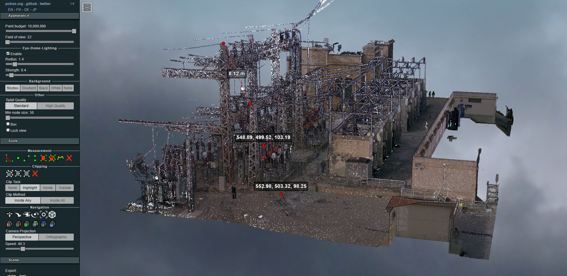
Laser scanning of an electrical substation
- Uncategorized



We are working with archaeologists again, this time hand in hand of ATICS, Management and dissemination of archaeological and historical heritage supporting them through topography and archaeology during excavation tasks.
We began work in mid-2016, with the topographic support of the beginnings of the excavation.
Unaware of the smell of discovery that our archaeologist friends had surely picked up, as on other occasions when the study of a site begins, we began the work in a routine manner.
According to what they tell us, the findings made at this site confirm the occupation of Turó d'en Rosés since the 1st century BC. Among the remains are various structures, rooms, deposits, vineyard ditches and finally, mosaics.
The good state of conservation and the detail in the drawings would help confirm the existence of several Domus.
From the beginning, Altiplà's work has consisted of georeferencing and performing the topographic survey of the different structures that were emerging as the excavation progressed. On the other hand, and since it was an earthmoving operation, of course, the calculation of the different volumes.
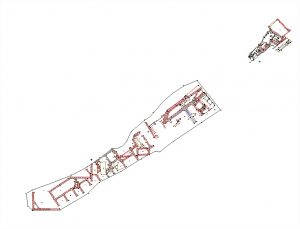
Topographic survey in one of the excavation phases
Once the mosaics were uncovered and given the importance of the findings, the archaeologist responsible for the project, Francesc Florensa, commissioned us to carry out thephotogrammetric survey of the entire site, with special attention to the various mosaics found. These mosaics were obtained with very high resolution (up to 0.002m), while the rest were obtained with a lower resolution.
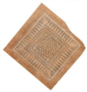
Very well preserved mosaic. Photogrammetry at 0.2 mm resolution
The photographs were taken with two reflex cameras (Evil and normal type) with fixed optics and a 5-meter-high pole, taking thousands of photographs to cover the entire site.
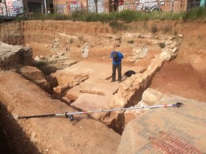
Time to take pictures of the mosaics
The advantages of obtaining data from the entire space by photogrammetric means are irrefutable. Knowing that detailed information is available on the entire excavation in 2D and 3D before the filling of the entire area for the upcoming construction of the laterals of the C-31 highway, certainly gives this product a high value for its future study or conservation.
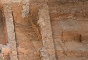
3D visualization of a detail
Another result obtained was an orthophoto of the entire sector. On it, georeferenced with UTM coordinates ETRS89 system, all the elements of the site can be located with great accuracy.
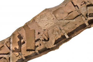
Portion of the Orthophotography obtained from the Roman site of Badalona
To finish, we leave you with a curious detail: Do you know what fish this is?*
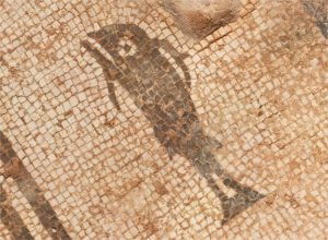
Details of the mosaics obtained with very high resolution
We thank you once again for the trust placed in us by the team ofATTIC.
* (dock)