3D viewer online course
- Technology



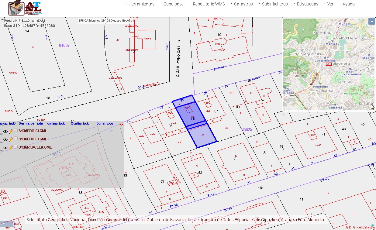
Georeferencing and obtaining GML
EXTENSION OF THE MORTGAGE LAW
Since 2015, the Adaptation to the Mortgage Law Reform 13/2015 of June 24 has been applied, for better coordination between the Property Registry and the Cadastre when identifying and describing real estate.
As expressed in point III, “From the economic point of view and the legal security of the properties, it is essential for the Registry to determine with the greatest possible accuracy the portion of land on which it projects its effects. For the Cadastre, it is essential to know and reflect in cartography all those modifications or registry alterations that occur on the physical realities of the properties through any fact, business or legal act…”
NEED A TECHNICAL ENGINEER IN TOPOGRAPHY
“Whenever a property is registered, or operations of parcelling, reparcelling, parcel concentration or limitation are carried out that determine a rearrangement of the land, the georeferenced graphic representation of the property that completes its literary description, expressing, if duly accredited, the georeferenced coordinates of its vertices.”.
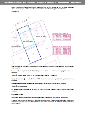 Technical report
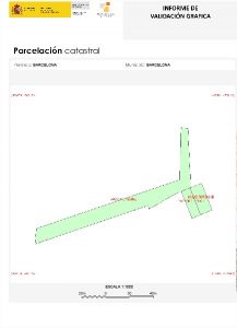
Cadastral VGA
To carry out the procedure for obtaining a Alternative Graphic Representation, the cadastre requires that when preparing it a competent technician, a series of additional requirements are met, such as the production methodology, either through Topographic Survey on the ground or other methodology that is considered more appropriate to the work environment.
REFERENCE SYSTEM
Georeferencing system. The description of the plots must be georeferenced in all its elements. The geodetic representation system used will be that of cadastral cartography, which is the ETR89 reference system.
In this sense, who better than a Technical Engineer in Topography, which has the necessary tools and knowledge, recognized by official entities and Notaries, thus speeding up the validity of the files presented.
RESULTS
Given the complexity of implementing the aforementioned law, at Altiplà we have worked since the beginning of its implementation to provide solutions to the demands that have arisen in this field. In 2017 we can say that it has been the year of consolidation of the tools that have allowed us to provide solutions in Georeferencing Certificates for different types of transactions, segregations, licenses, transmission, correction of discrepancies or cadastral review.