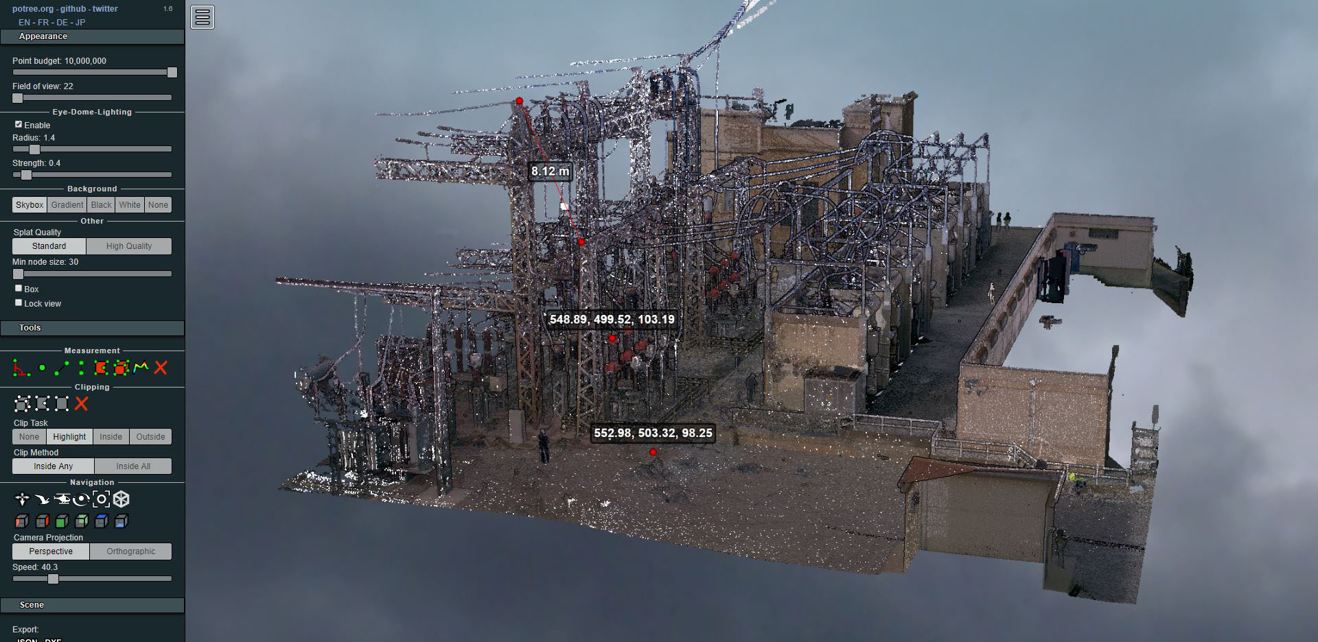
Laser scanning of an electrical substation
- Uncategorized


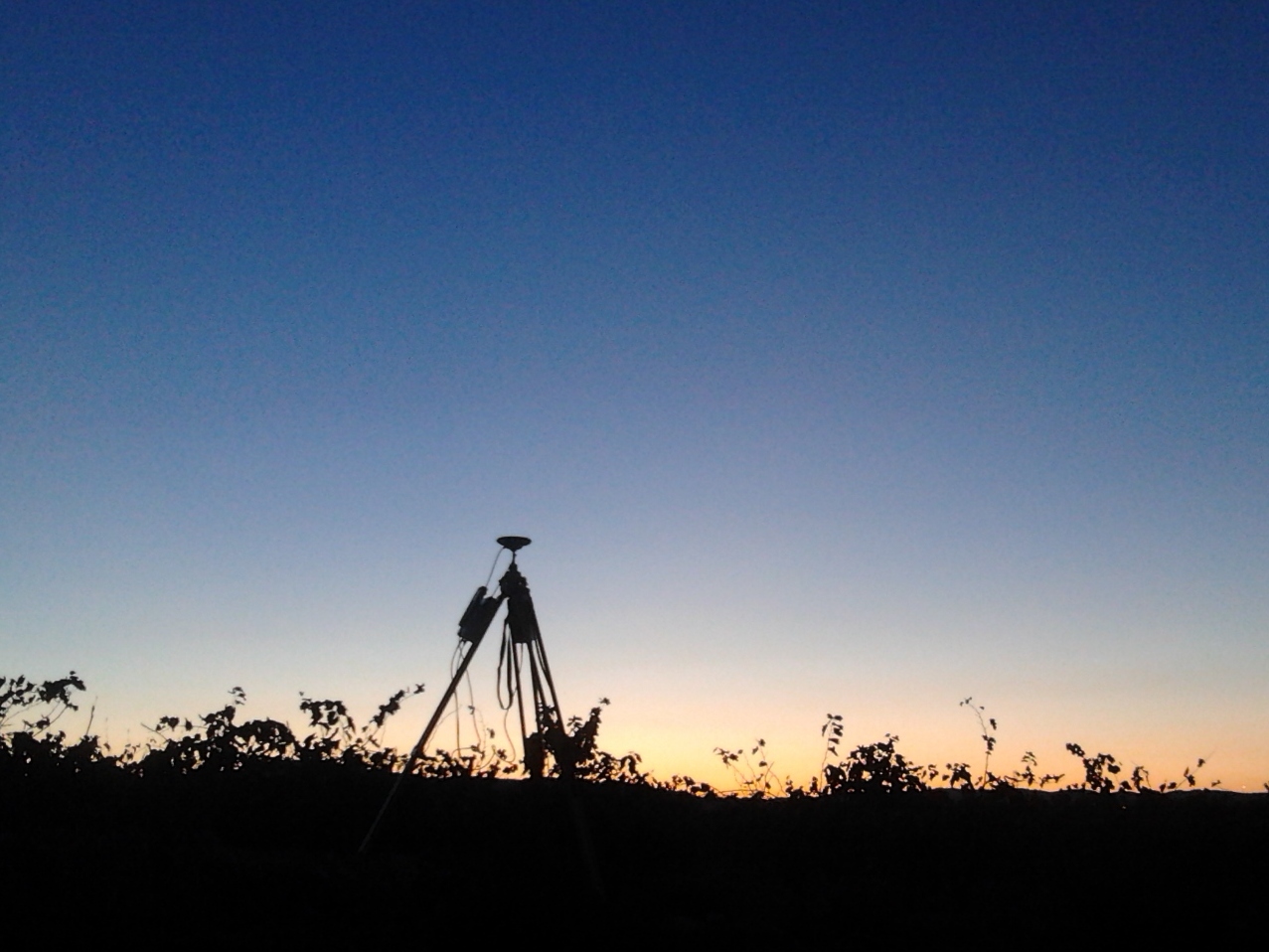
Late in the day we're back to picking up the GPS base station… we've already finished the work we've been doing in the Baix Penedès for the study of a medium-voltage line.
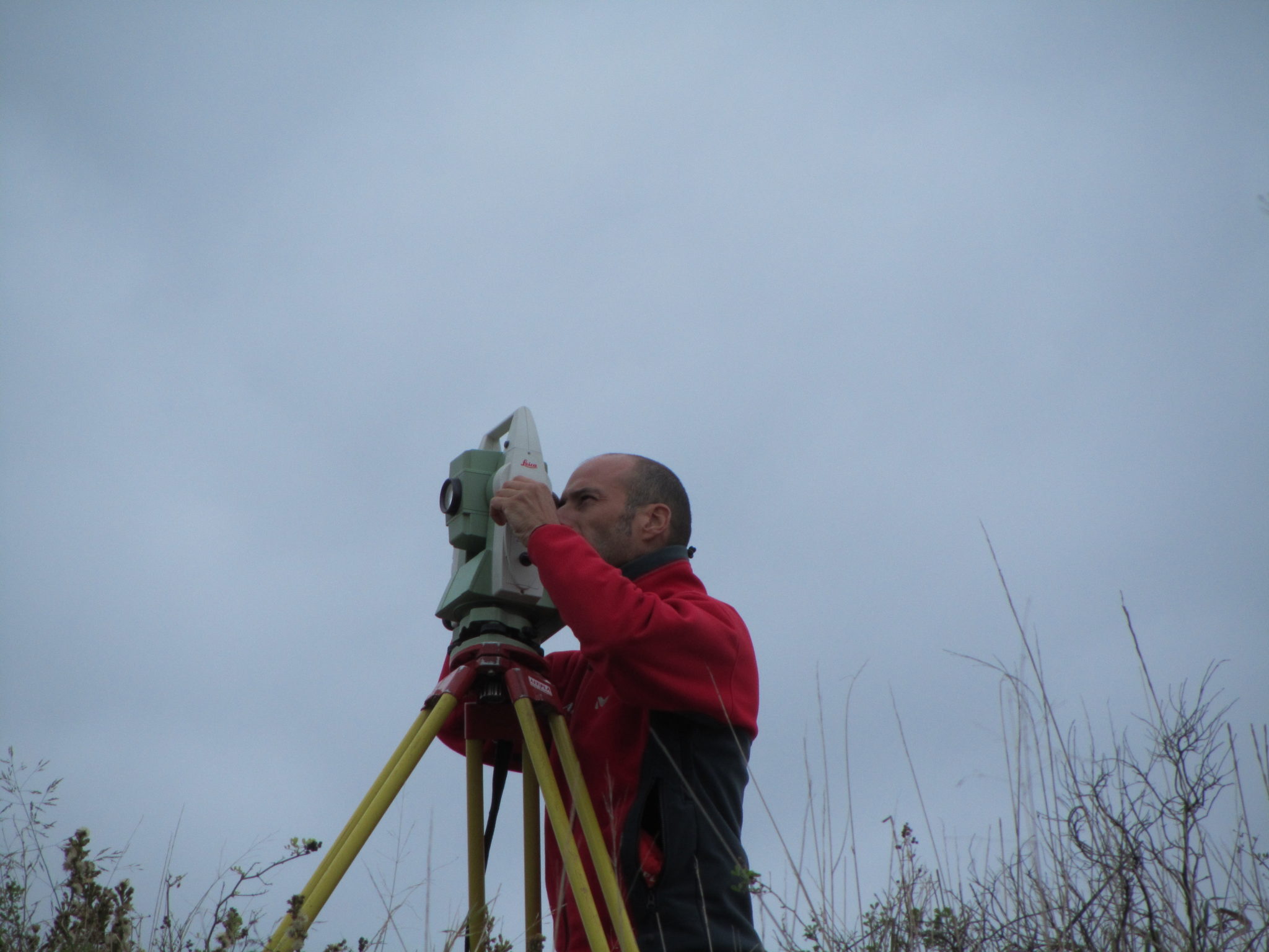
Finally, we have completed the survey using classical topographic methods for masonry works and the catenary graph for electric or railway lines.