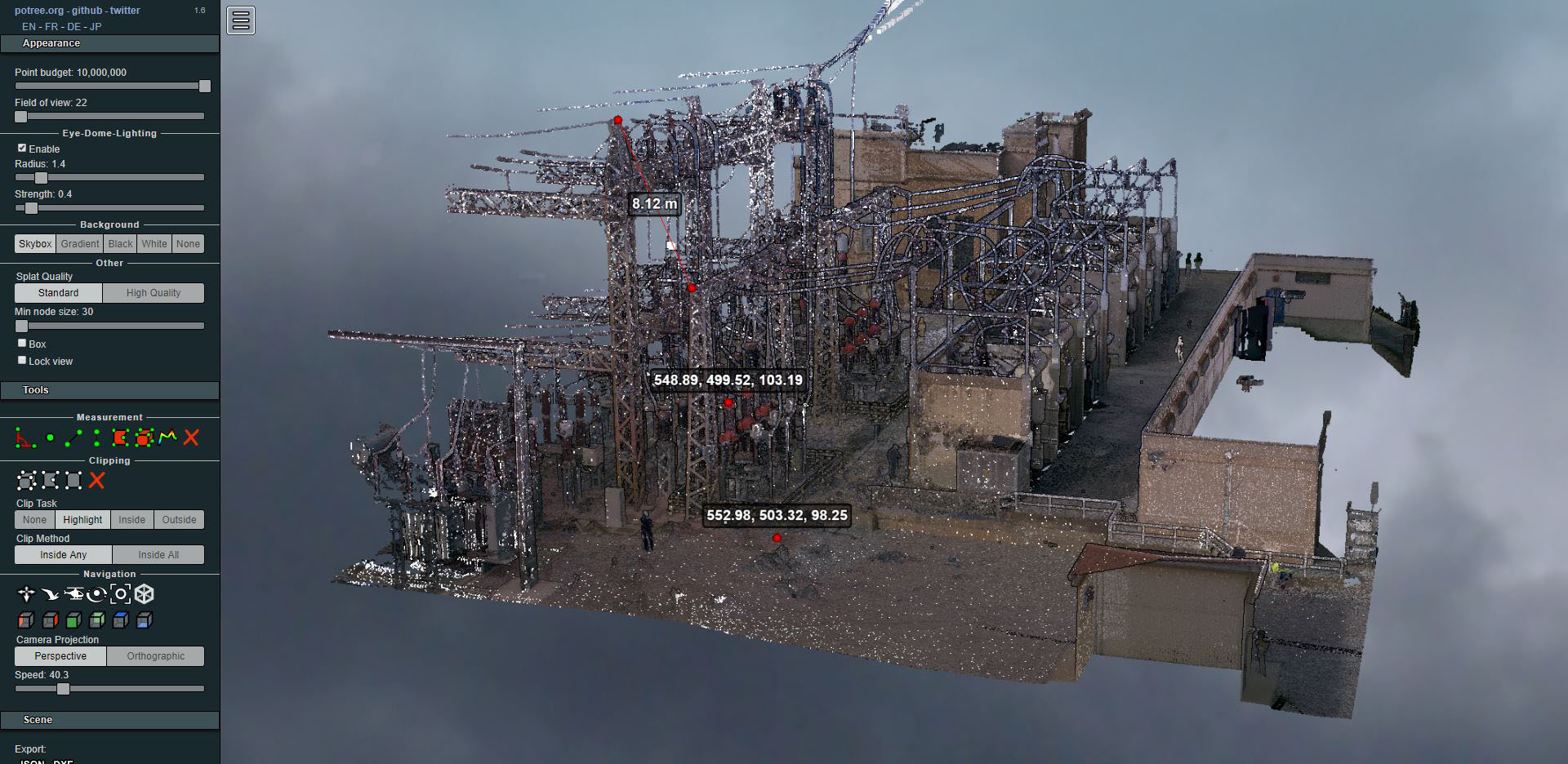
Laser scanning of an electrical substation
- Uncategorized



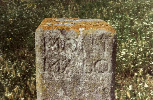
Over the past year, Altiplà has been carrying out some rather special expert work, which has consisted of studying the Territorial boundary line between Montmeló and Montornès del Vallès. This boundary line has been the cause of disputes between these two municipalities since the 14th century, the date of the last “boundary demarcation” agreed upon by both.
Within the framework of the current municipal boundary delimitation work in Catalonia, the latent conflict has been reopened. Montmeló has filed a contentious-administrative appeal against the decision made by the Generalitat, which largely sided with Montornès, and this is where Altiplà comes in, having been commissioned by the Montmeló City Council to carry out the expert study of the boundary line.
In order to prepare the report, we had to work with very old documentation, especially from the 16th to the 19th centuries, documentation provided to us by the local historians of Montmeló, belonging to the Montmeló Study Center (CEM). The dispute at that time concerned the collection of tithes from those lands, which were disputed by the Monastery of Saint Peter of the Puel·les, on the Montmeló side, and the Carthusian Monastery of Montalegre, on the Montornès side.
History of the litigation
It seems that the origin of the dispute lies in the boundary demarcation carried out in the 14th century, agreed upon by both municipalities. A boundary survey was conducted along the axis of the Besòs and the Congost, but major floods in the 15th century washed away the markers and significantly altered the rivers' courses. This is where the disputes began…
The documentation under study has been primarily rulings issued over the centuries, such as that of the General Bailiff of Catalonia from 1600 or that of the Captain General of Catalonia from 1820. Various boundary demarcations or “sights, as they were called at the time, and which consisted of work carried out by surveyors or experts who recognized landmarks on the ground and determined whether they were accurate.
It should be noted the “visura” carried out in 1665 by the Chancellor Fabrici Pons, at the Royal Audience, published by the CEM, which very accurately describes each of the municipal boundary markers.
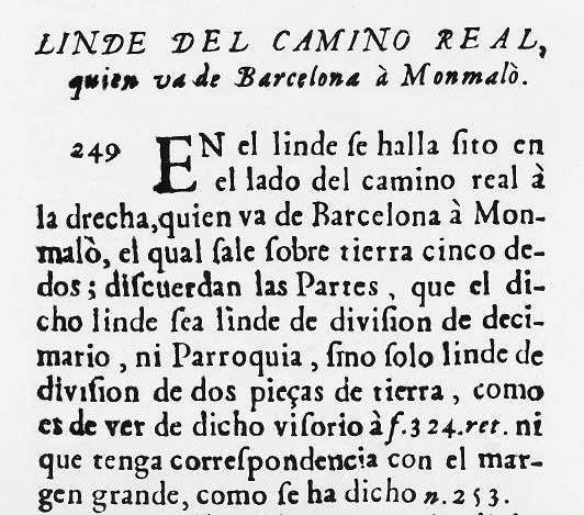
Also noteworthy is the plan, or “unscaled draft,” carried out in 1747 by Matheu Puig i Ferin, a renowned royal geometer, belonging to the Royal Land Registry Tribute. This document is official in nature, as it was prepared for cadastral purposes. Matheu Puig and his son, who shared the same name, were very prolific surveyors of the era and carried out topographical work in many parts of Catalonia.
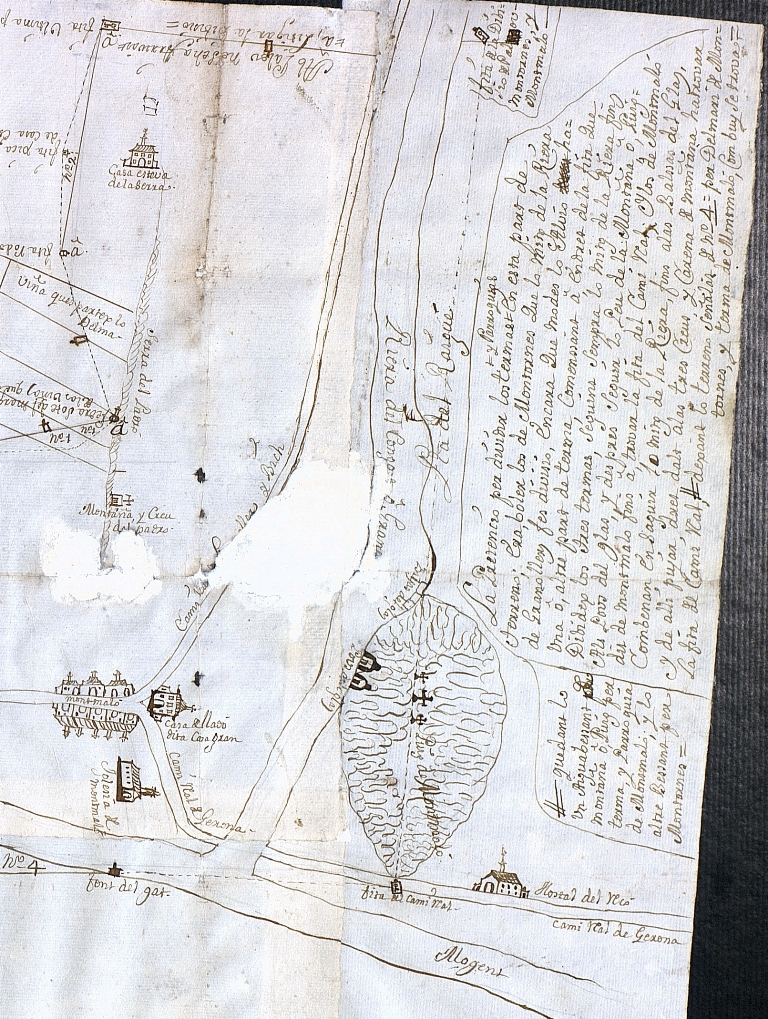
In 1819 a new lawsuit began between the two towns, this time in the Mataró Regency, in the person of the corregidor Baron de la Barre. The experts sided with Montmeló, and the Baron ordered a trench to be dug along the boundary line, which outraged the landowners. The claims of the Count of Darnius, a major landowner in Montornès, prompted the intervention of the Captain General of Catalonia, who revoked the Baron de la Barre's decision and sided with Montornès. This Captain General's decision was highly controversial, as he ignored the surveyors and geometers and did not base it on technical arguments.
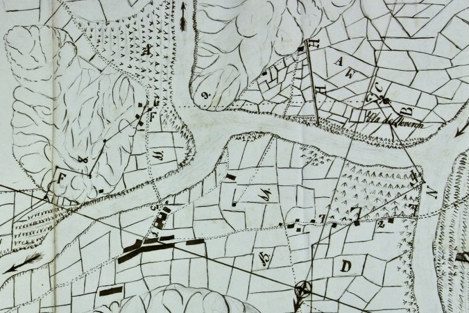
It can be considered that those events of 1819 were pivotal and marked a turning point in the history of the border line. As a result of that decision, Montornès began collecting the taxes on those lands, and all subsequent rulings relied on the tax collection to uphold Montornès's position.
Since that fateful year of 1819 (for Montmeló) until today, the official boundary line has always been that of Montornès, even though Montmeló has continued to claim what it believed was right.
Expert witness work
The work of Altiplà has consisted of interpreting this historical data from a topographic point of view, and also the Reconstruction of the boundary line claimed by Montmeló, which had never before been surveyed with topographical precision.
Based on the descriptions of milestones and the maps found, it has been possible to obtain the historic boundary line of Montmeló with an accuracy of about 20 meters. The final result is very good considering the precision of measurements in the 18th and early 19th centuries.
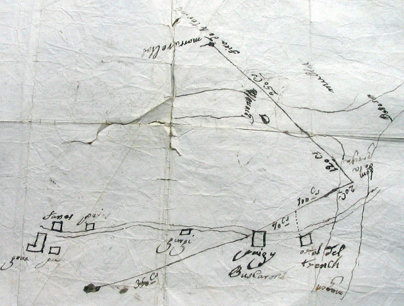
Among the plans found, we highlight, for the precision of their measurements, some of the sketches discovered at the Monastery of Sant Pere de les Puel·les, dating from the 18th century. These sketches consisted of measurements between benchmarks carried out by a surveyor. The unit of measurement used is the cane, an old Catalan unit of measurement, which, as its name indicates, consisted of a “cane” or rod, the length of which could vary depending on the region.
It has been a very rewarding experience to be able to carry out work of this nature. We are grateful.
with the help of local historians Angel Piñero and Josep Humbert, of the Montmeló Studies Center, without whom this work could not have been carried out.