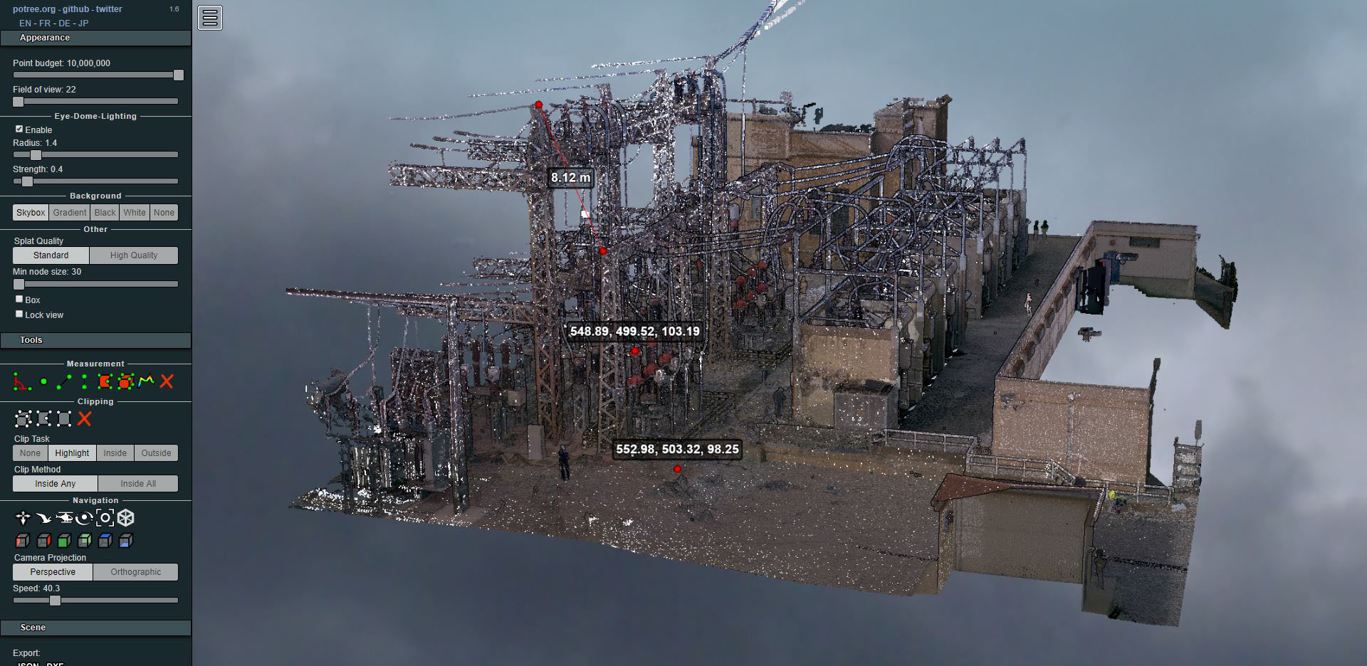
Laser scanning of an electrical substation
- Uncategorized



At the end of 2014, during the urban development works on a section of Ripollès Street in the Sant Martí District of Barcelona, a Civil War air raid shelter in very good condition and approximately one hundred meters long was uncovered. Its existence was known from the list of air raid shelters of July 16, 1938 published in the Atlas of Civil War shelters Spanish in Barcelona, published by the Barcelona City Council and CLABSA. Around 1,400 were built in Barcelona.
Information extracted from the Barcelona Archaeology Service (Barcelona City Council)
Fomento de Construcciones y Contratas, with Glòria Berga as Head of Topography of the Department of Civil Works in Catalonia, contracts us for the georeferencing and scanning services of the entire shelter. The archaeologist Lourdes Forcades (ATICS SL) who is doing the study and inventory, indicates to us those points where more emphasis will be needed (inscriptions, objects, etc.) for the subsequent detailed study.
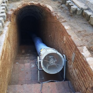
The work begins with the georeferencing of the project using classic methods with a total station, based on the bases of the Barcelona City Council (IMI). The adaptation work by FCC will consist of cleaning the shelter, lighting and forced ventilation, which must allow us access to the work area following all health and safety regulations, including having completed the Preventive Action Course in Confined Spaces.
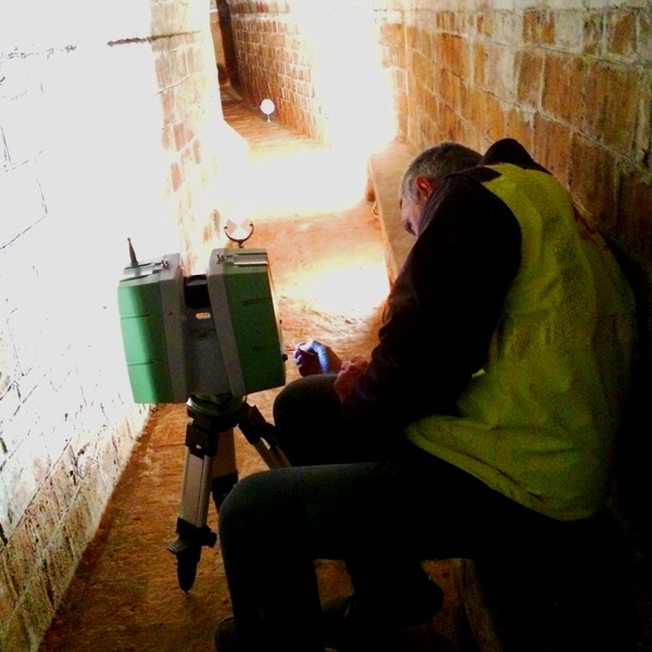
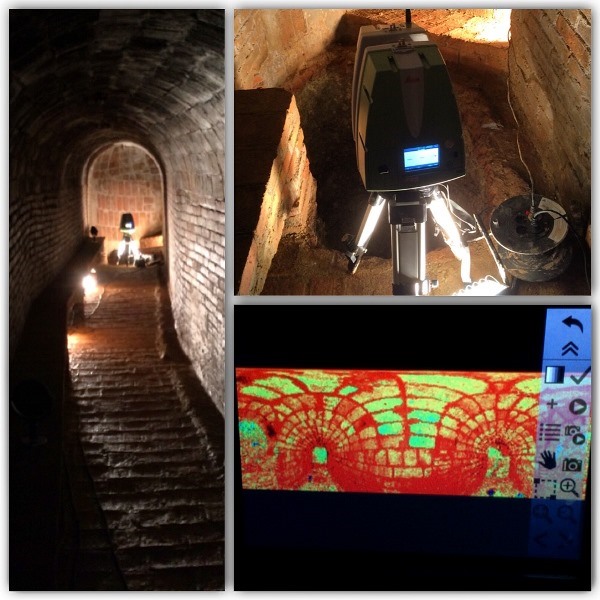
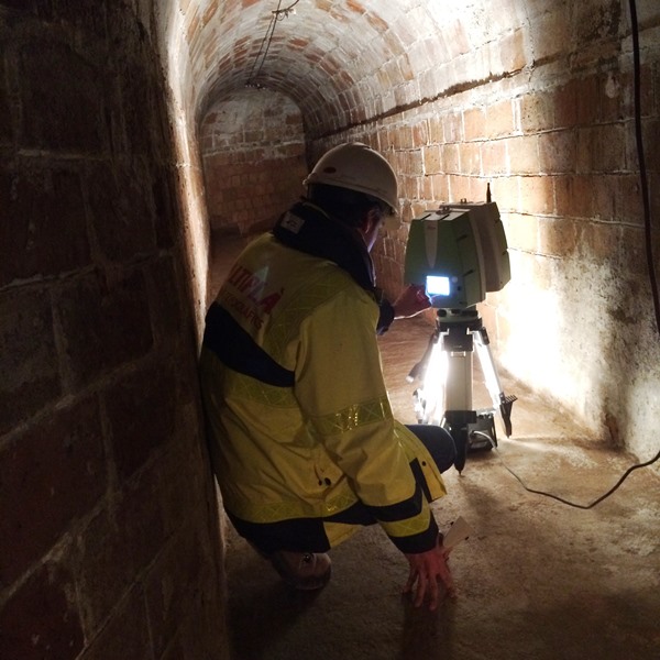
We perform the scanning with a scanner. Leica Scanstation P20 which can obtain up to 1 million points per second with a 3D accuracy of up to 3mm at 50 meters. Prior to the scanning phase, the P20 takes photographs, which will provide each point with a color attribute that will allow for a realistic visualization of the point cloud itself obtained, which with a simple application, the Truview.
Once the fieldwork is done, we perform the post-processing with the Cyclone, obtaining the referenced GEO model, matching the targets that we will have placed as if it were a polygonal, with errors around the millimeter.
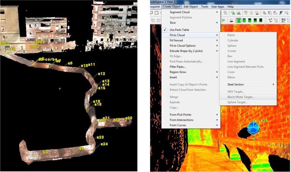
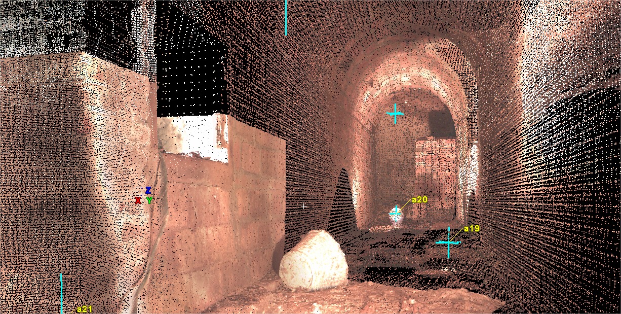
The Truview will allow us to navigate the gallery and take measurements or obtain coordinates of the generated model. This will probably be the most useful tool for archaeologists, as they will have all the geometry of the air raid shelter to be able to study it from their own office, shortening the time spent in the area, without hindering the course of the urbanization work or taking unnecessary risks.
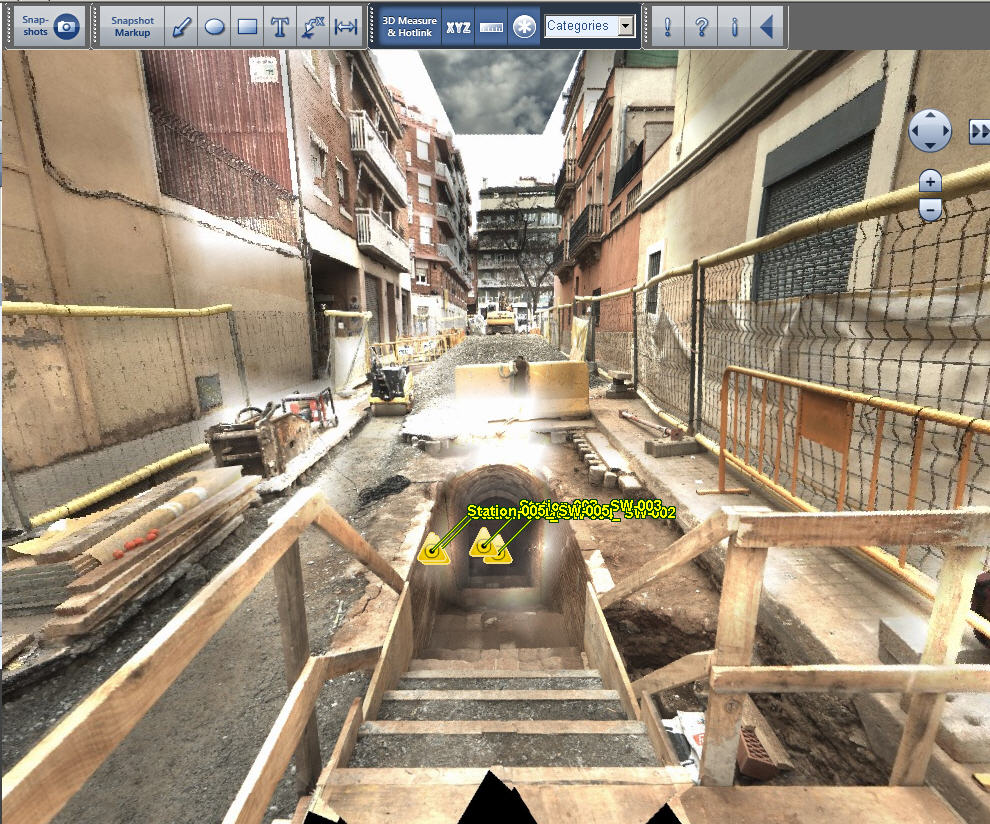
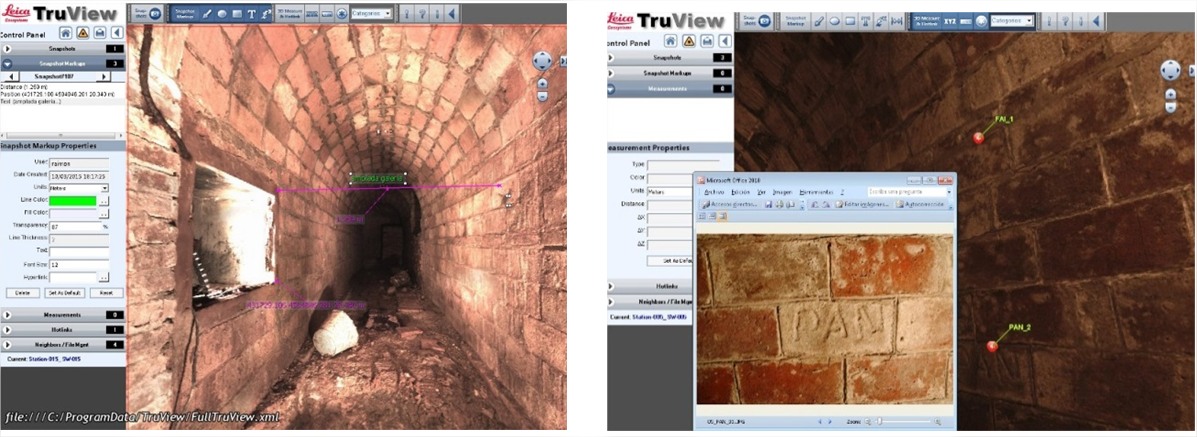
Despite looking like a photograph, it is the generated point cloud, on which we can move by positioning ourselves at the different points of view of the scanner inside the shelter. With this tool we can also put labels on those points that are considered of interest or generate hyperlinks, as in the case in question, where photographs have been obtained of the different inscriptions or details that can be seen on the model itself in the exact position where they are located..
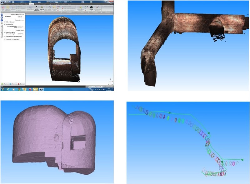
Let's move on to 3D Reshaper. Since it is a gallery, we find that the proximity between the scanner and the walls has generated a very high density of points, which we will have to treat in sections. Therefore, we cut the shelter into parts from which we will clean targets, cables or other objects that may hinder the modeling.
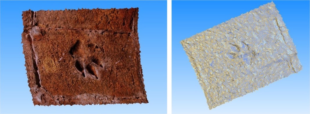
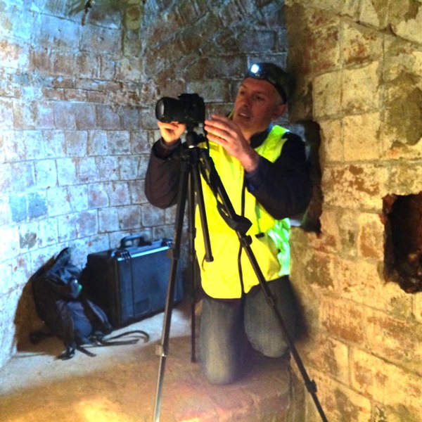
Modeling will allow us to remove sections and we will also be able to apply the texture of photographs taken with a reflex camera and greater definition, thus obtaining 3D virtual images of the interesting details of the gallery, such as reliefs or inscriptions.
We participated on behalf of’'Altiplà Topographic Services:
Marc Sanllehí. Technical Engineer in Topography
Jordi Massallé. Technical Engineer in Topography
Raimon Serna. Technical Engineer in Topography
Oleguer Basora. Glies in geomatics engineering
Acknowledgements:
Carlos Valle: Leica Geosystems
Glòria Berga: Technical Engineer in Topography. FCC
Lourdes Forcades and Marta Fàbregas: Archaeologist. ATTICS