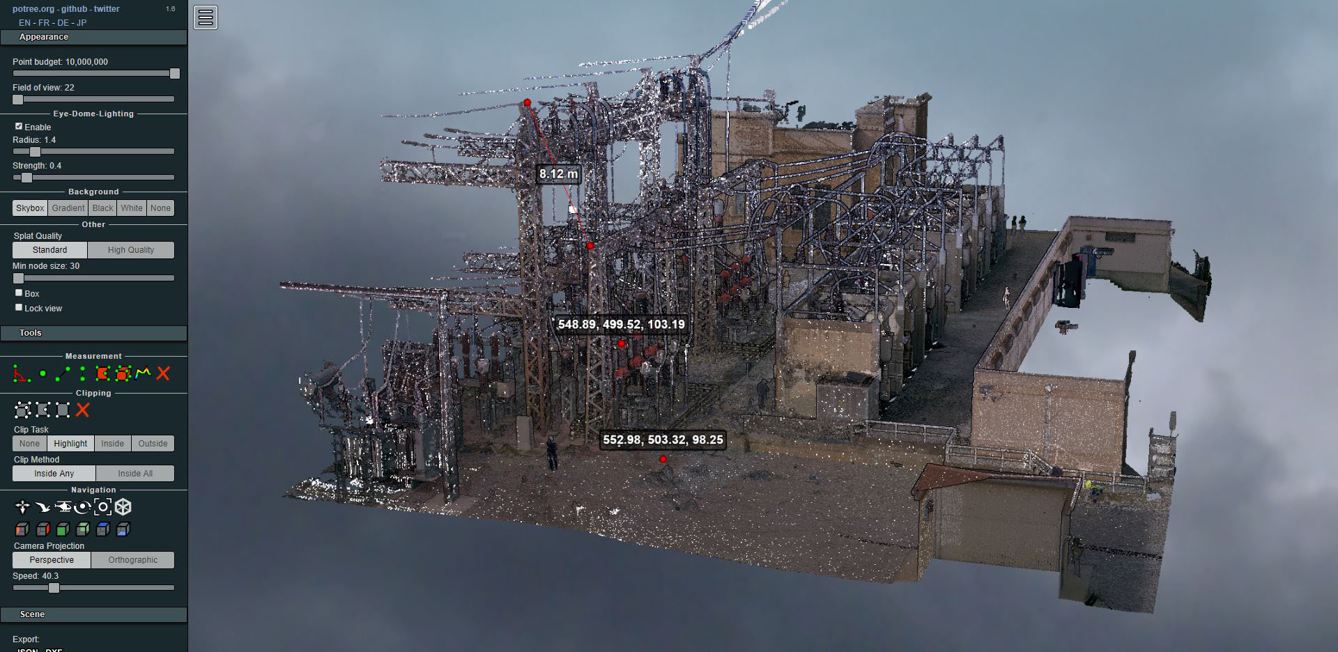
Laser scanning of an electrical substation
- Uncategorized


La Pedra is one of the three population entities of the municipality of La Coma and La Pedra, in the Vall de Lord (Solsonès). The small historic center, at about 1000 meters altitude, is formed by the Church of Sant Serni, the cemetery and four or five other houses at the foot of the Roc de La Pedra, at the top of which we find the remains of the Castell de La Pedra.
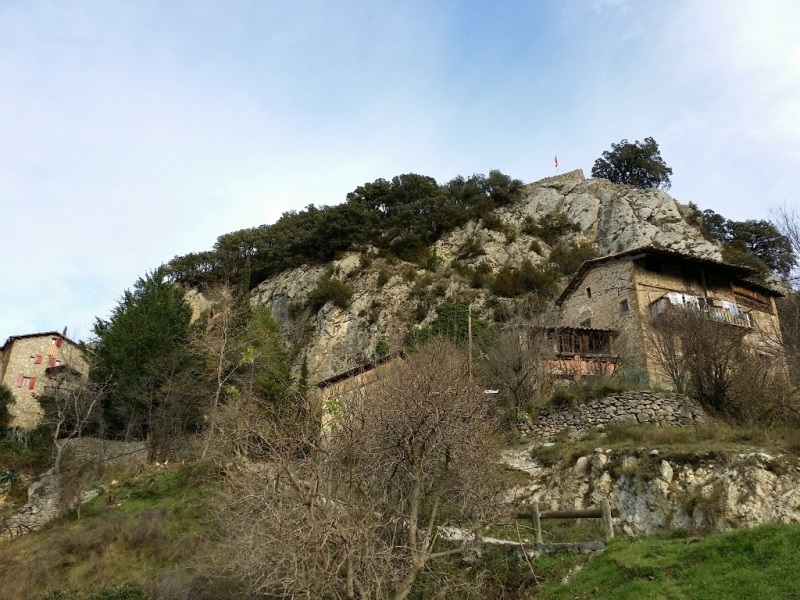
La Pedra with La Pedra Castle on top
The first documented reference2 of the Castle dates back to the year 962, in which the Bishop of Urgell consecrated the church of Sant Serni “in locum Castro Petra fulgenti”. King Peter the Ceremonious declared in 1375 that the “stone castrum” belonged to the new county of Cardona.
It seems that from the 15th century on the ruins of the castle there was a farmhouse, already ruined in the 19th century. 1.
In collaboration with the’Vall de Lord Cultural Association , Altiplà has carried out the topographic survey of the ruins of Castell de La Pedra. The survey was carried out in December 2014, with a Leica TS15 total station, and with the help of Carles Clotet.
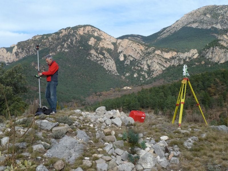
Taking data at the Castle, with the Verd mountain in the background
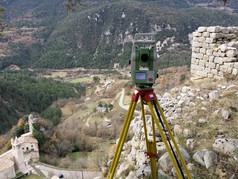
The natural environment is spectacular, located in the Castle we can contemplate a large part of the Vall de Lord, and in the foreground the mountains of Port del Comte and Verd or l'Urdet.
The survey will mainly consist of mapping the remains of walls that we can see. We suspect that part of the remains of the castle are still preserved underground.
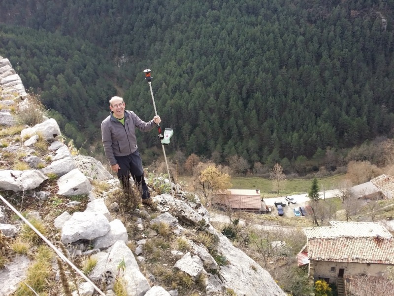
Data capture at the top of the cliff, with the center of La Pedra at your feet
According to historians2 It seems that the old castle could have been composed of two bodies, the southernmost of 6.30×10.10 meters and another further north of 8.50×5.60m. In the following image we have placed these two buildings in the approximate place where they could have been.
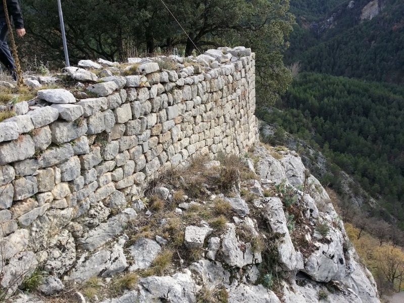
The castle's best-preserved wall lock

Click to enlarge

Click to enlarge
We hope that this uprising is just the beginning of the recovery of the remains of the Castle and its history.
References: 1. Francesc Regàs; 2. Encyclopedia of the Romanesque of Catalonia
For more information you can contact Altiplà Topographic Services.