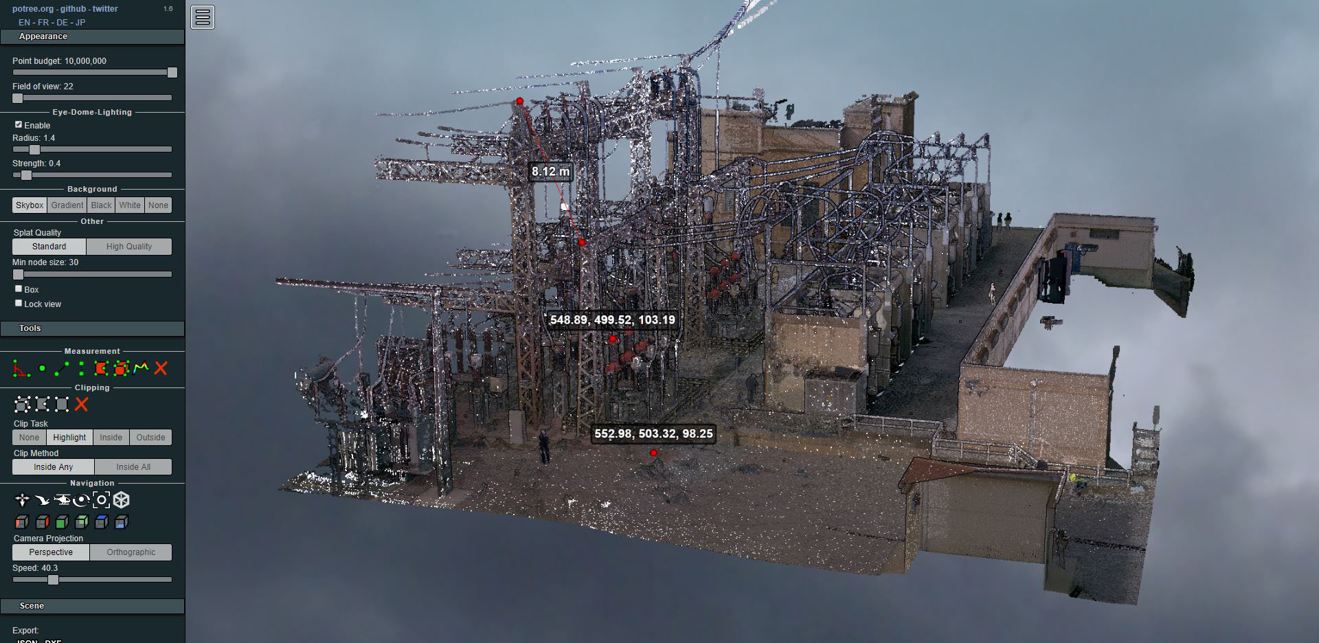
Laser scanning of an electrical substation
- Uncategorized


As a result of the abandonment of the rural world, those who are knowledgeable about the terms of their properties often disappear without transmitting all their knowledge to their heirs and descendants. They are often belittled by arguing the low value of the property and the affordable cost of the IBI. However, new exploitation opportunities (game reserves, new truffle crops, apple trees, rural tourism, sale to investors, inheritances, segregations, etc.) put on the table the importance of having the property well delimited.
For example, that potential buyer who comes from Northern European countries, where the cadastre reflects reality. It is very common that when comparing the registered and cadastral area, discrepancies appear that will need to be corrected in order to proceed with any type of deal. This process is slow and will easily set back the potential investor.
On the other hand, the lack of transfers recorded in the registry means that segregations or purchases made through private contracts induce some clever person to resell the property, recording himself as the last owner.
A SPECIFIC CASE.
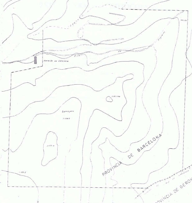
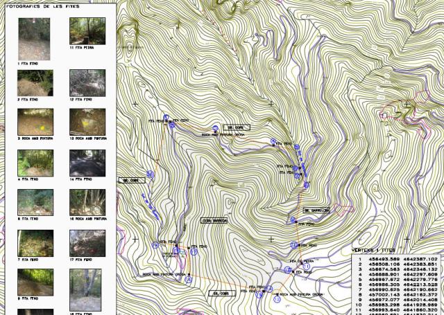
This data has been accompanied by the resulting plan with a list of coordinates of the landmarks that were recognized. The implementation of new landmarks on the ground to complement the existing boundaries will facilitate possible exploitation or future inheritances, so that our client will not have any obstacles in the future in the recognition of the property either at an official level or by neighbors and heirs.