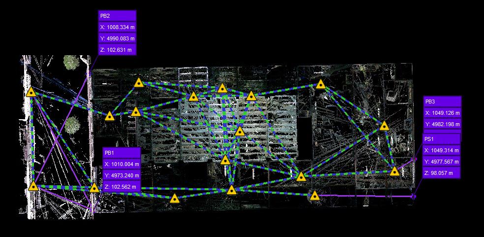
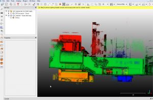
Dimensional control based on data captured with a laser scanner (point cloud – BIM) Technology Read more
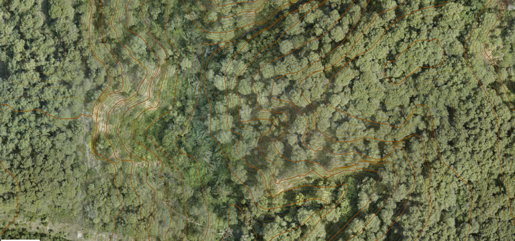
Restitution from images captured by cameras transported on UAV equipment, in areas of dense forest and extreme orography Technology Read more
Topographic map of a Civil War air raid shelter on Mallorca Street with Independència (BCN) Uncategorized Read more